
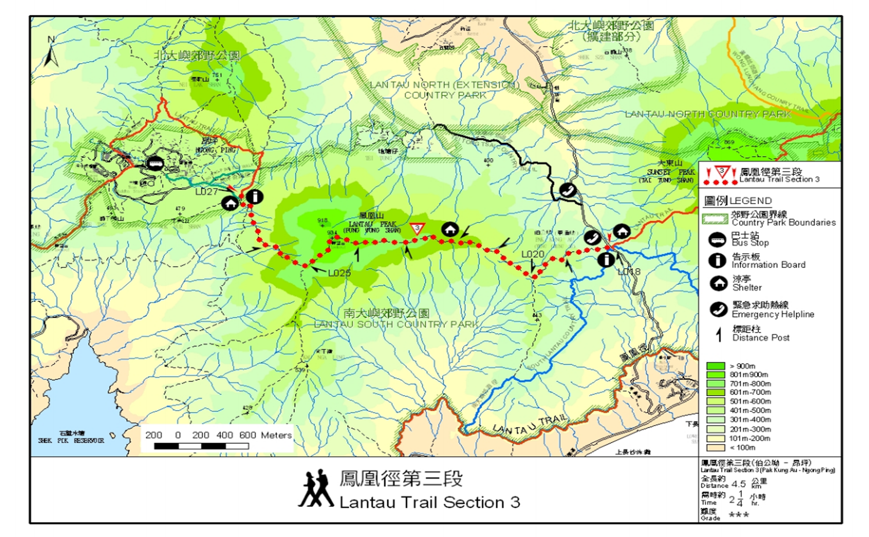
We were back.
Last year, we stood on the other side, watching, observing, from the steep steps halfway down sunset peak. The long, narrow and rather straight trail leading up to Lantau peak but we lost sight of both trail and peak where they pushed past and into a cloud of mist.
This time, the weather was less than perfect: the mist was already swirling around us at pak kung au 伯公坳. even though I brought a rain jacket, I was hoping hard that it wouldn’t rain.
Getting to Pak Kung Au was a little adventure of its own. Instead of taking the ferry to mui-o like last year, we took a train from Wan Chai to Tung Chung. I’m not sure if this was faster; it could well be as we didn’t waste time trying to find pier 6 and waiting for the ferry and then spending another hour on the ferry to Lantau.
It was crowed at Tung Chung (Sunday!) but the good thing was we just needed to flow with the crowd to the New Lantau Bus (NLB) Terminal (click here for the bus routes).
There were 3 options to Pak Kung Au: 3m, 11, 23.
3m went to Mui-O. 11 to Tai-O. and 23 to Ngong Ping. All had long queues especially 3m. So we queued at 23 instead. Alas, 23 took a long time to arrive; meanwhile, bus-loads full of people were being carted off by the endless stream of 3ms.
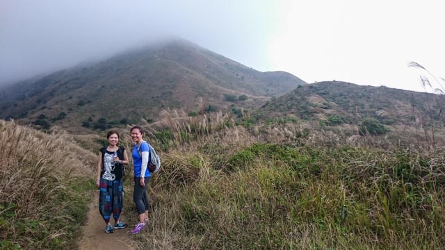
The bus got us to Pak Kung Au pretty quick. Lots of people had already gathered there (from those 3ms), most of them were headed towards Sunset Peak. We looked up and it seemed the trail was full of people, though all I saw were specks of white packed tightly together like white mushrooms.
Crowds on trails were the least of my favourite things so we turned our attention back to the immediate challenge: getting us up Lantau Peak.
If you are coming from Tung Chung, cross the road to the big stone, the rock with the words Pak Kung Au etched on it. The trail is right next to the rock. A few steps up, you will see checkpoint 18. To reach Ngong Ping, follow the trail till checkpoint 27 which will bring you to the giant sutras that look like columns of an finished building (that’s what I thought when I saw them on my way down from the peak). Here’s the trail map.
The trail started off gently enough. The overcast weather made for a very nice walk but pretty bad photos. These were all I could get with my mobile phone.
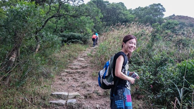
Just getting started
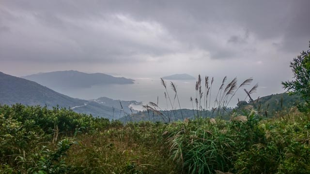
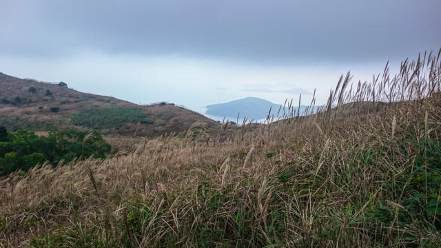
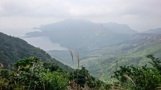
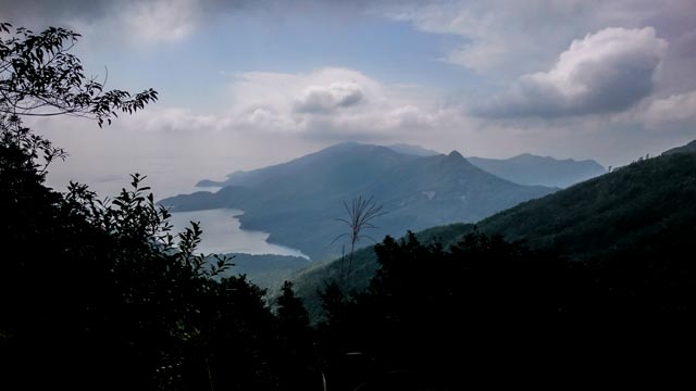
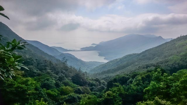
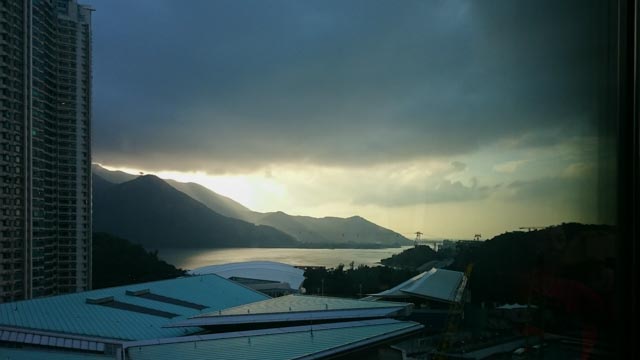
The coastline and the clouds

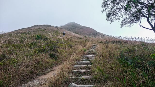
The foliage cleared as it got steeper
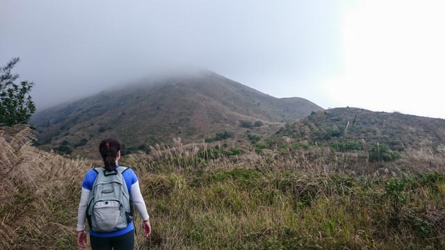
Now we see the peak? or not?
Still, it made for a beautiful backdrop
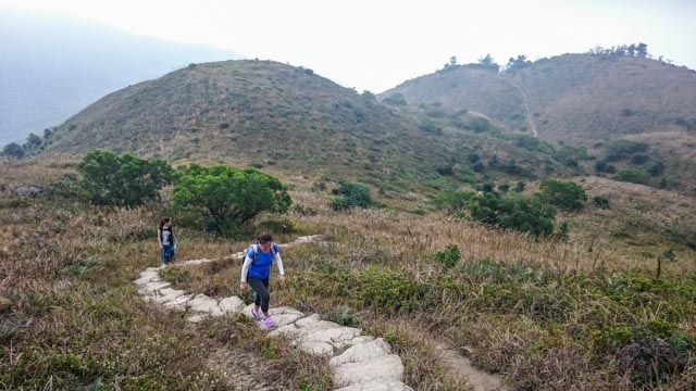
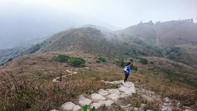
After the hill, we came upon more hills
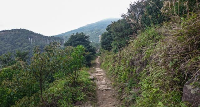
Lookout from the trail
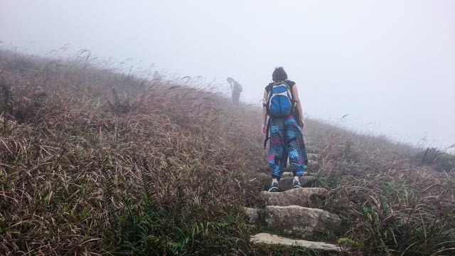
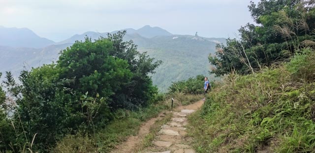
Soon, we caught up with the earlier ones
Pause, and drink in the beautiful scene
Up, up and … are we there yet
And they ran down from it
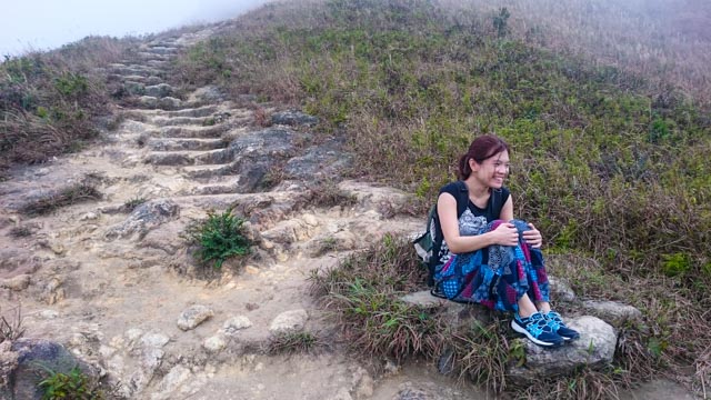
Time for a real break
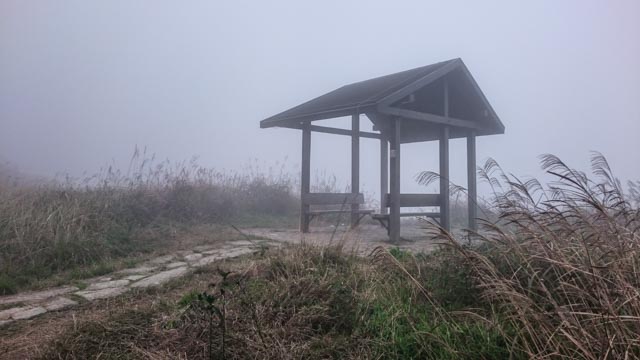
This would have been a good rest stop but there was nothing to shield us from the winds
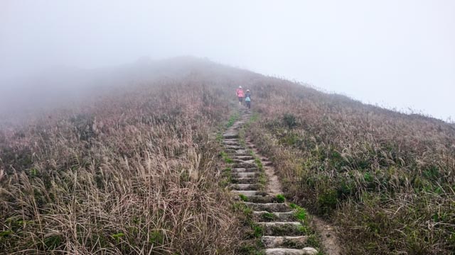
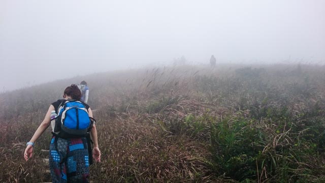
We caught up with more people
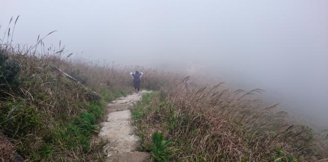
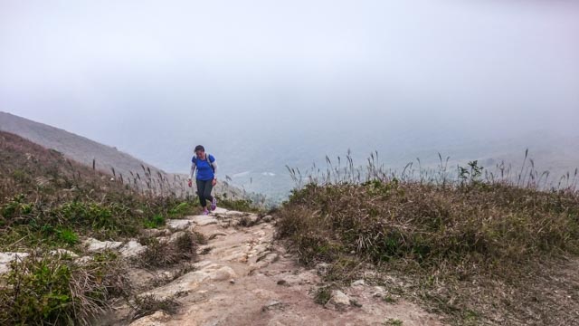
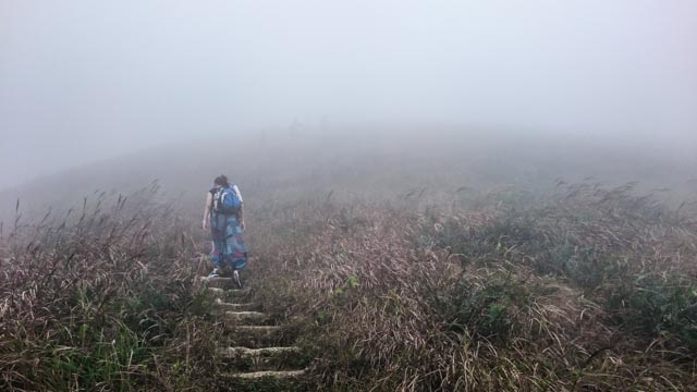
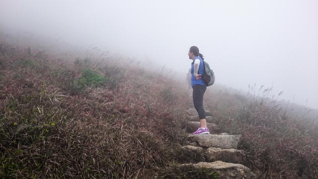
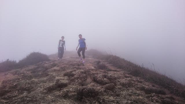
But really, we could barely see the trail

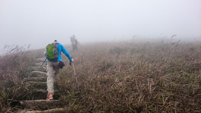
Good to keep close
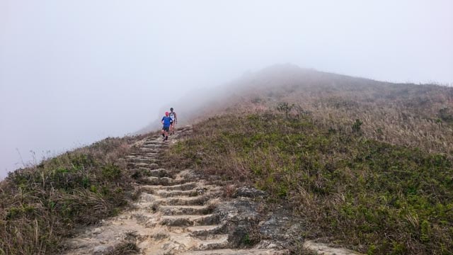
As more trekkers passed us by
Until they disappeared into the mist. and then there was one.
All we saw were silhouettes
Until we couldn’t see anyone anymore
And wondered how long more

Still, the climb must go on
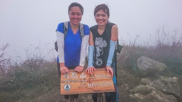
Finally, we reached the peak
But getting up was half the challenge. trail going down wasn’t easy either
We headed down to Ngong Ping shortly after. Didn’t linger on the peak because it was too cold and getting crowded. Plus we didn’t bring lunch so watching other trekkers gobble down lunch made us hungry.
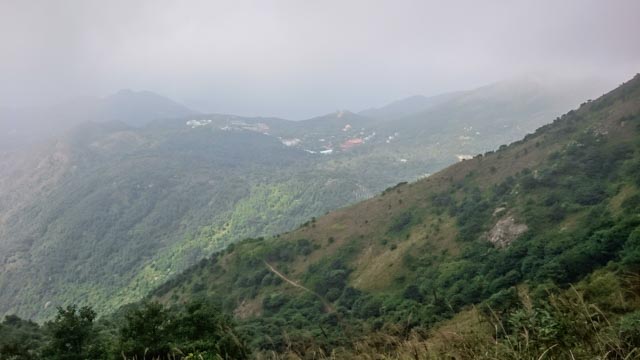
The trek down was much steeper than the climb up. Aand there was the wind. At one point, we were almost in danger of being blown off. After we cleared the mist line, we saw green again. But it was nothing like the climb up. The other side was much prettier.
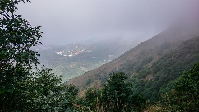
Peering out from the mist, Ngong Ping town
A flat trail, finally
The Buddha was visible but distant
Lookout from trail
We could see the giant sutras
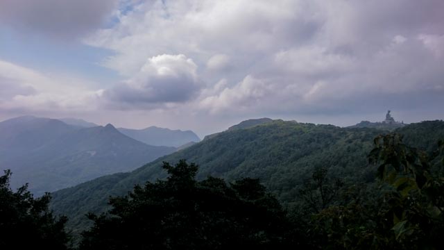
The big Buddha in the distance
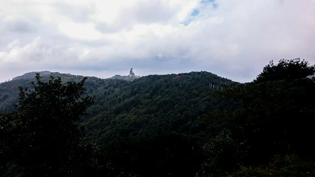
More of the big Buddha
Another lookout from the trail
Still cloudy
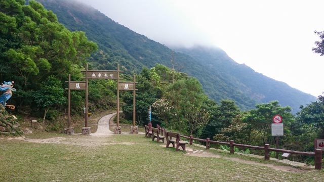
Checkpoint 27: the end/beginning of the trail
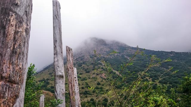
The sutra columns

For a short while, blue sky 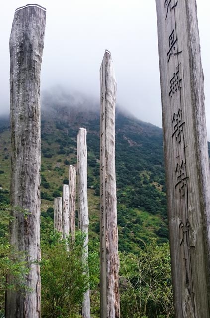
like a scene from an old pugilist movie
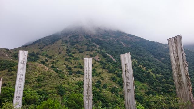
The Lantau Peak flanked by the sutras
To stave off hunger pangs, we had some of the smoothest, softest beancurd just outside the giant Buddha compound. And then made our escape from touristy Ngong Ping back to Tung Chung for more shopping at Citygate.
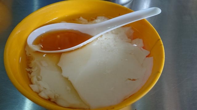
Soft, wobbly sweet beancurd
Categories: Hiking, Northeast Asia

I love how you described your journey to Lantau Peak.