
The Day We Almost Became Toast
Roz’s tips were precise. So getting lost was entirely our fault.
Her instructions for getting to MacLehose Trail Stage 4 were:
Take the MTR to Choi Hung (rainbow) Station (check), get out from Exit A (check), then take a taxi to Gilwell Campsite via Fei Ggo Shan road (飛鵞山道 or Flying Goose Hill Road).
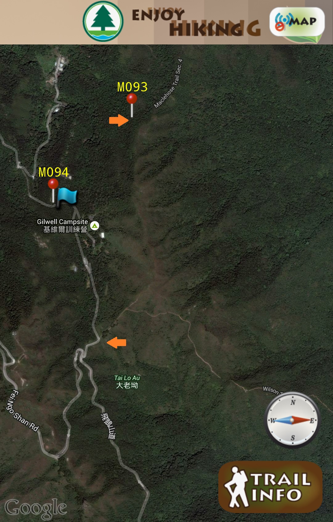
Here’s our route. All 12.7km of it and rated ‘difficult’.
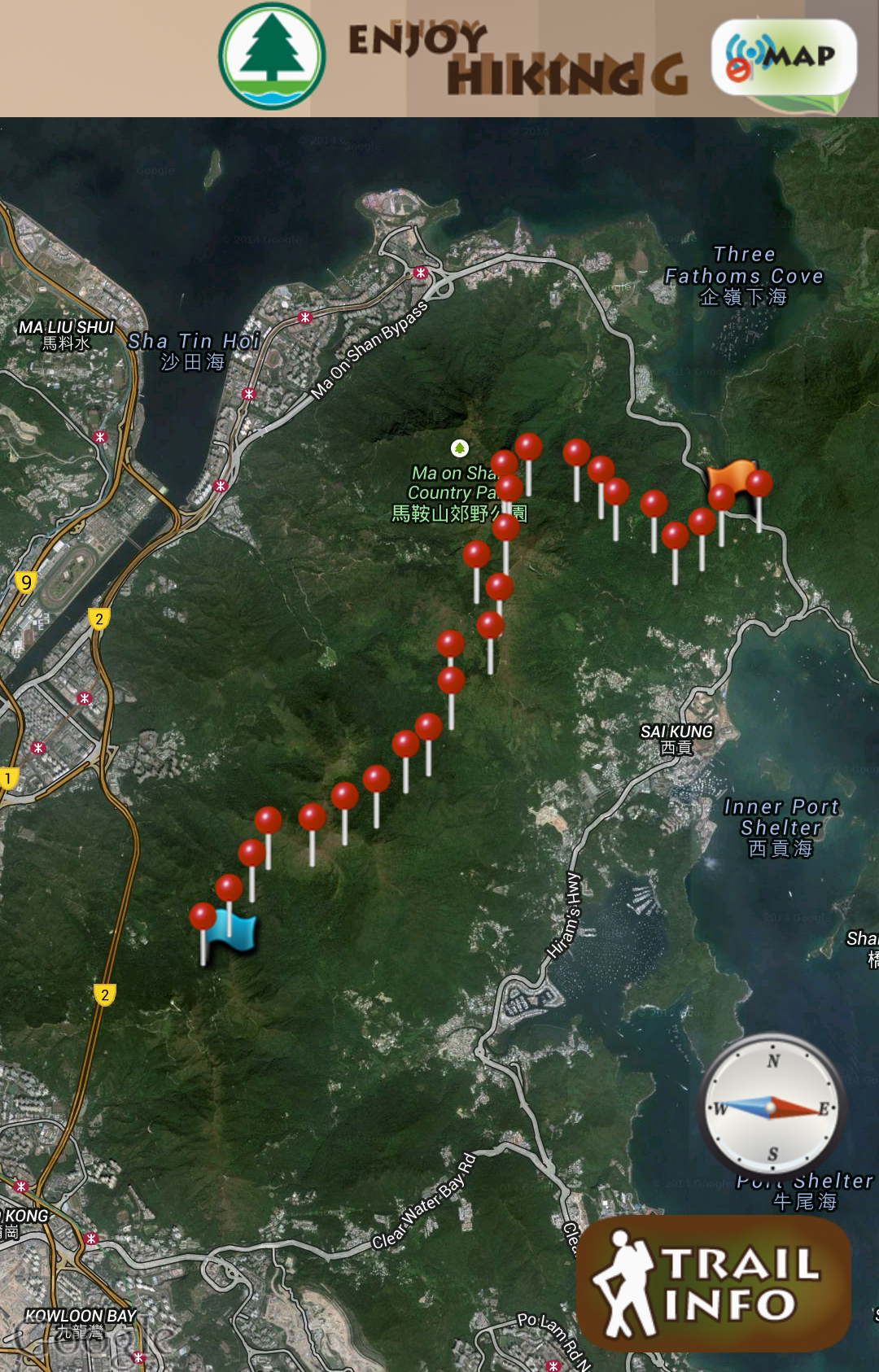
MacLehose Stage 4
The first cab driver said he didn’t know the place. Maybe our Cantonese was too clumsy. The second cab driver brought us up Flying Goose Hill Road but made us get off outside FlamingoGarden (condominium). He said he couldn’t go any further because the road ahead led to a dead-end. Our eyebrows were raised right to the edge of our hairlines – but we got down anyway.
Residents of Glamingo Garden told us here was where the dual direction road ended. It was a one way road on wards and he probably didn’t want to have to loop a long way back to town. Later, we saw taxis sped past us with full passenger loads: perhaps we should have negotiated a flat fee to get us to Gilwell.
Oh well.
The extra 1 hour walk on the tarmac was pretty interesting though. Despite the steep slopes, the air was crisp, there was free sweet spring water flowing down the hillside and enough material to make up a fantasy story for kids.
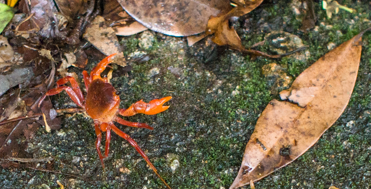
Encounter with a tiny crustacean
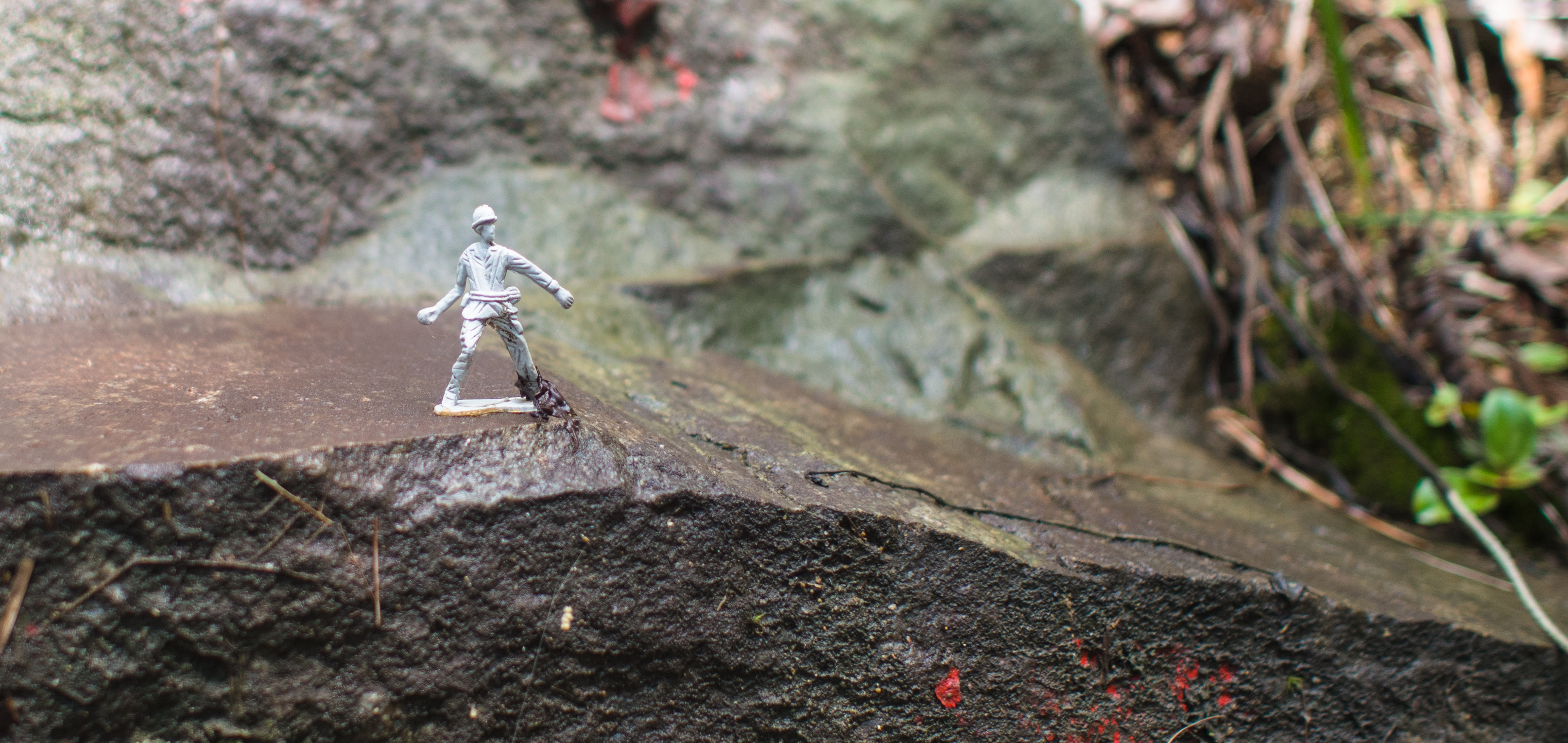
Lone soldier standing guard
Though, we wouldn’t had minded getting past these in a taxi so that we could save ourselves for what’s to come.
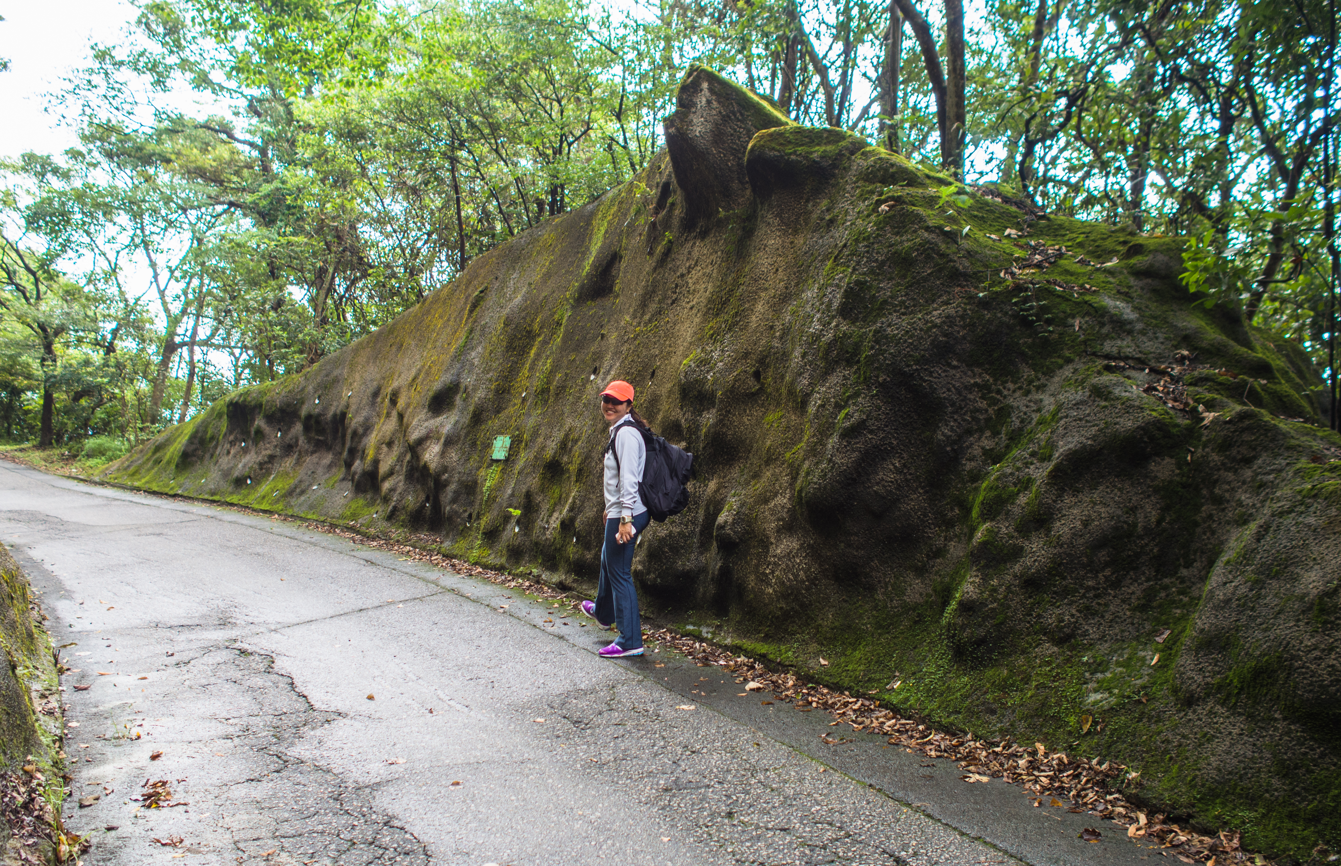
Interesting rock face

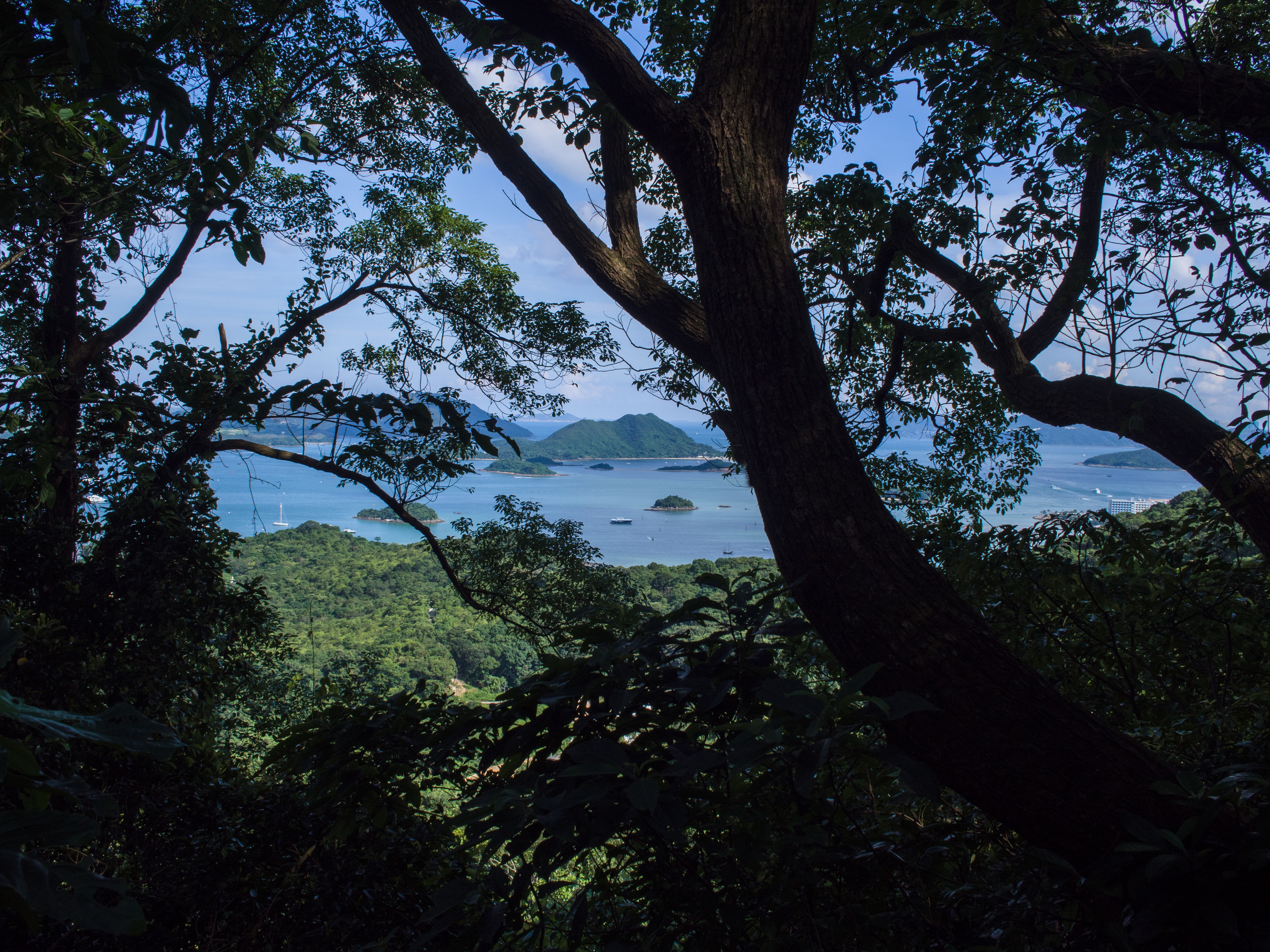
A peek through the trees
We came to a turn off from the tarmac with a signage that said: Mau Tso Ngam (茂草岩 or Bushy Grass Rock/Gilwell Campsite and figured it must be the start of the section. We were expecting to find a signpost indicating check point 94 Tai Lo Shan 大老山 (Big Old Hill) and a map showing how to get to check point 69 at Kei Ling Ha 企嶺下 (Tipping Mountains? Hovering Range?).
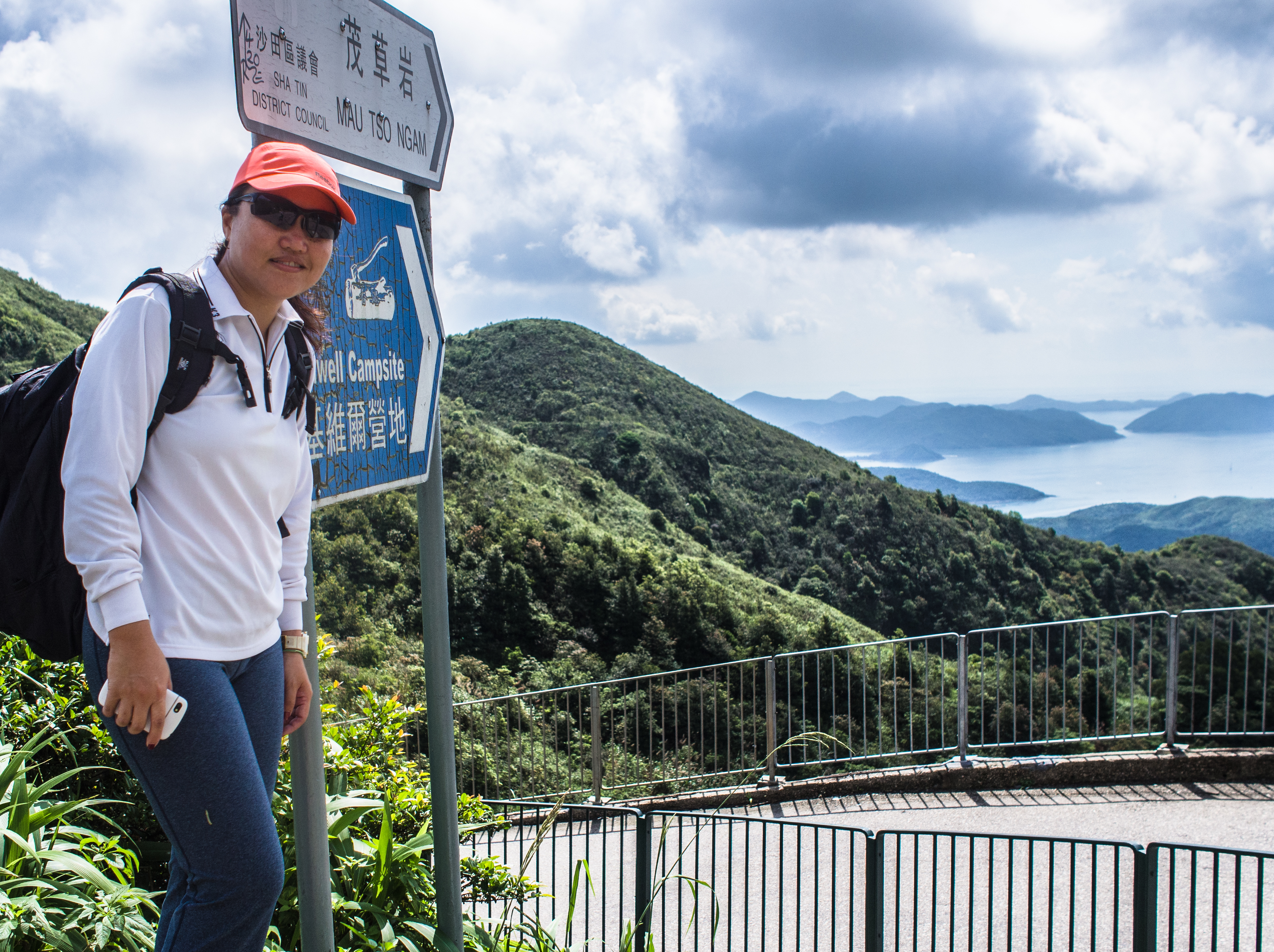
The false turn-off
But instead, we came to this little hill and the map showed it led to Wilson Trail Section 4. There was another trail leading up the hill which seemed to point in the direction of MacLehose. After consulting our hiking app, we decided to take the chance.
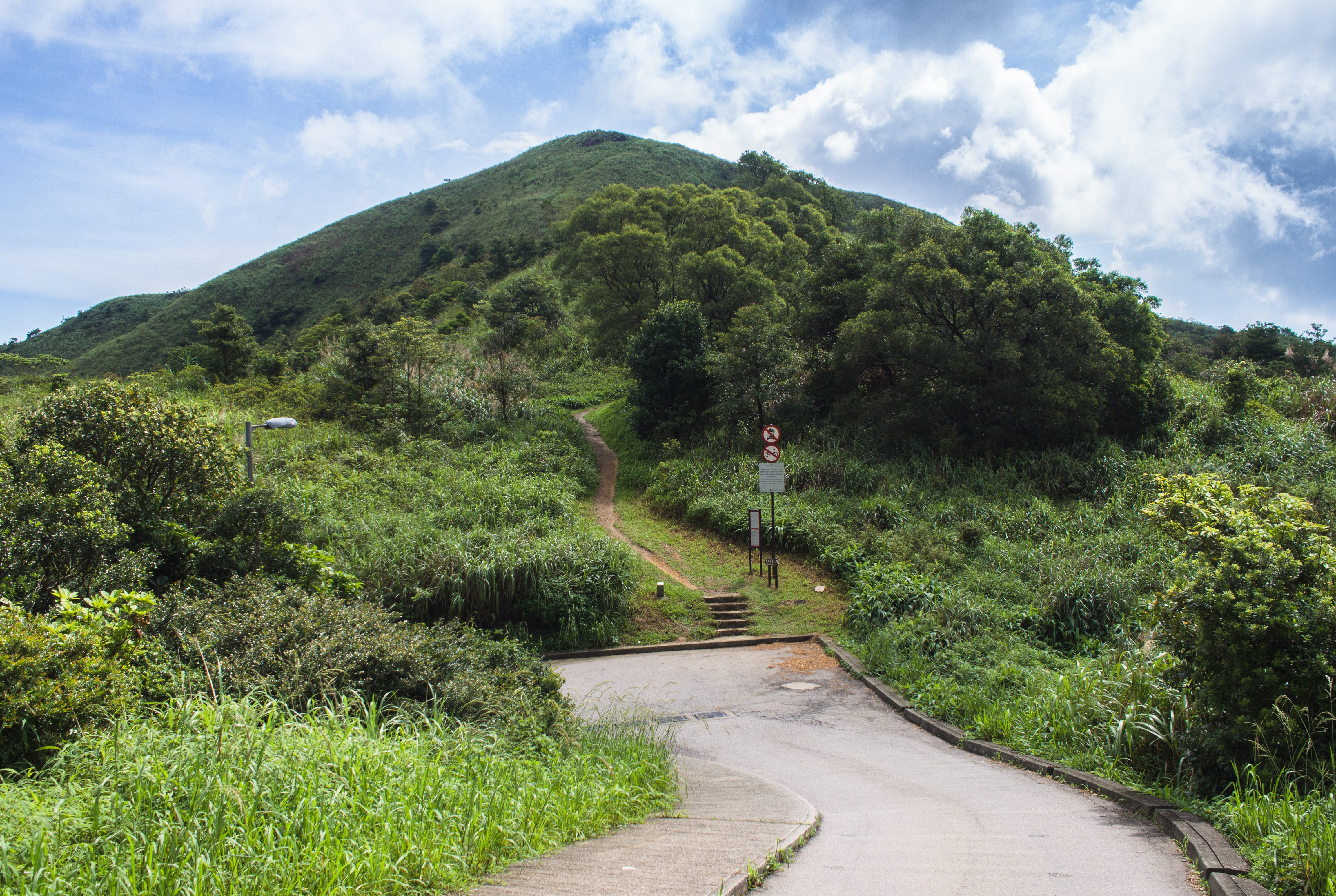
We thought this was it
From the false turn off to CP 93 – the trail disappeared after the hill?!?!?
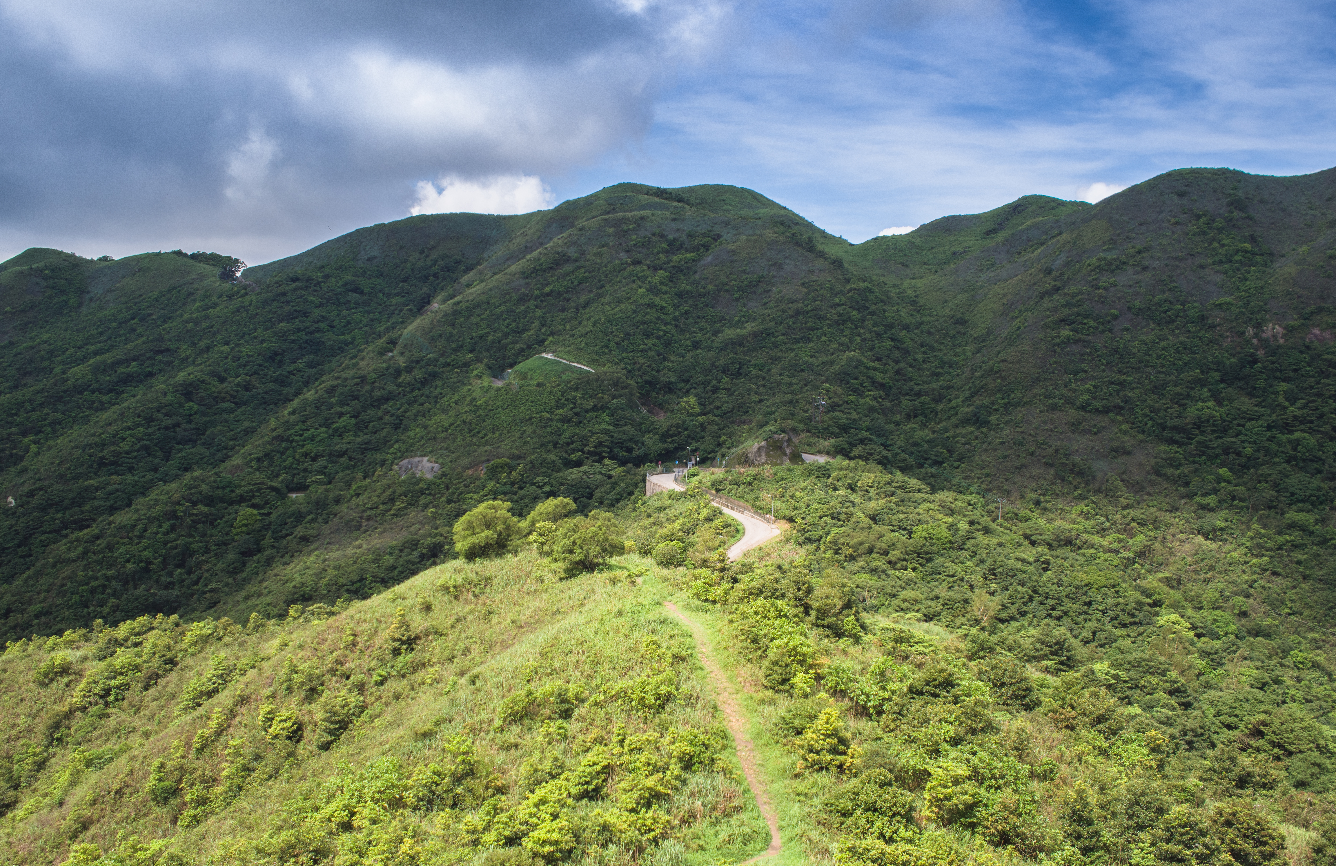
View from top of Bushy Grass Rock
As we headed down Bushy Grass Rock, the trail got swallowed up by thick undergrowth. What a bushy grass rock indeed. So there were lots of bashing through tall shrubs, sliding down steep, slippery paths on our bums. I think it was another 45 mins before we finally stumbled out of the forest onto MacLehose Trail.
By then I was already exhausted.
View from MacLehose finally
Taking a breather on the trail
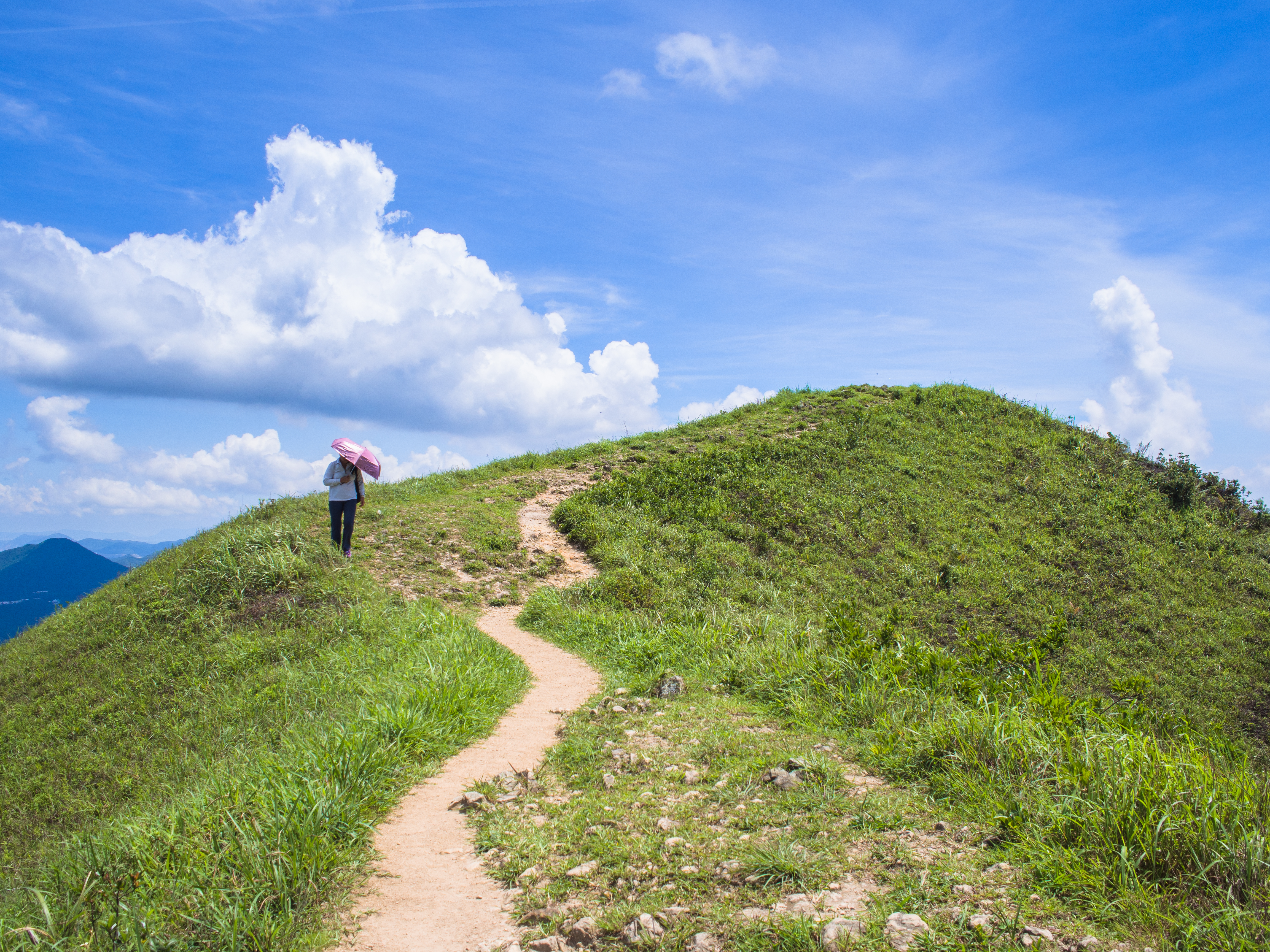
It was getting very very hot. Most parts of the trail were exposed. That time, we didn’t think to use our umbrellas yet so any shade we came upon became coveted real estate.
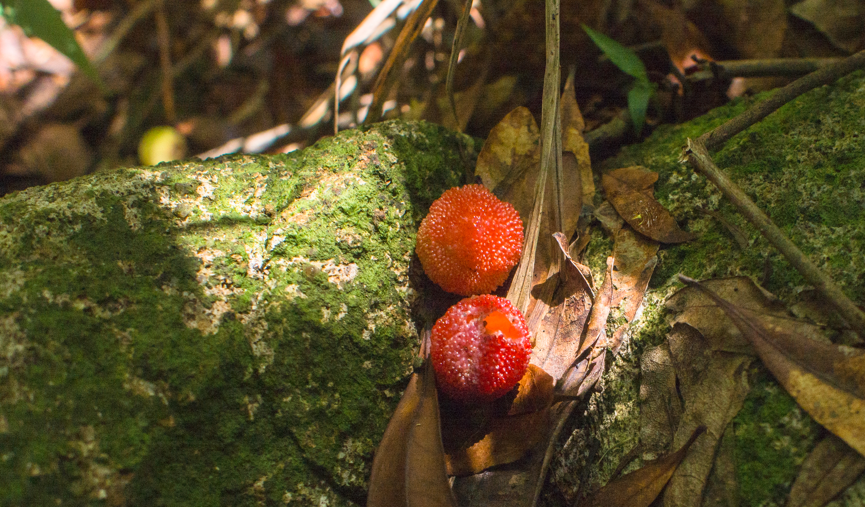
Interesting fruit
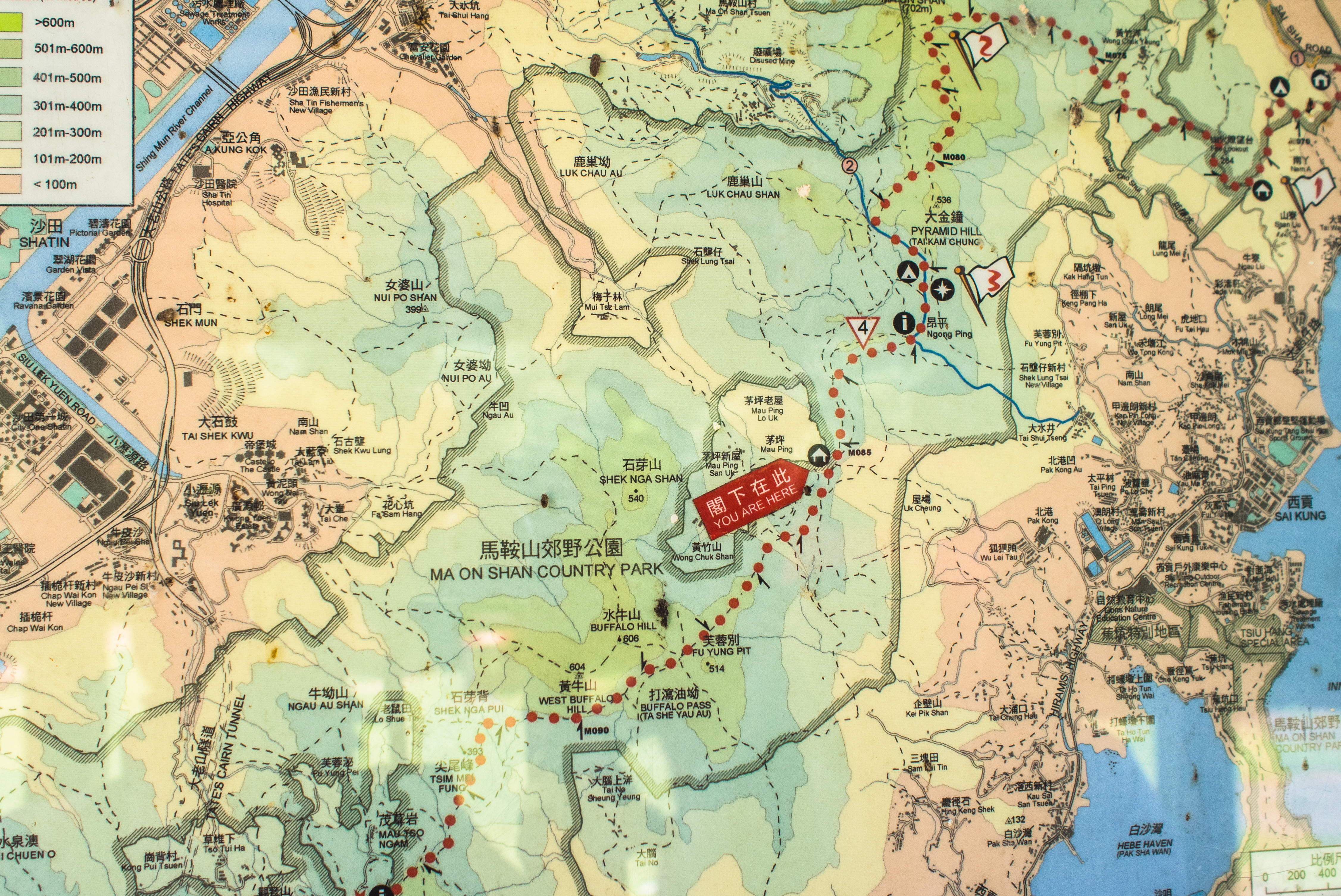
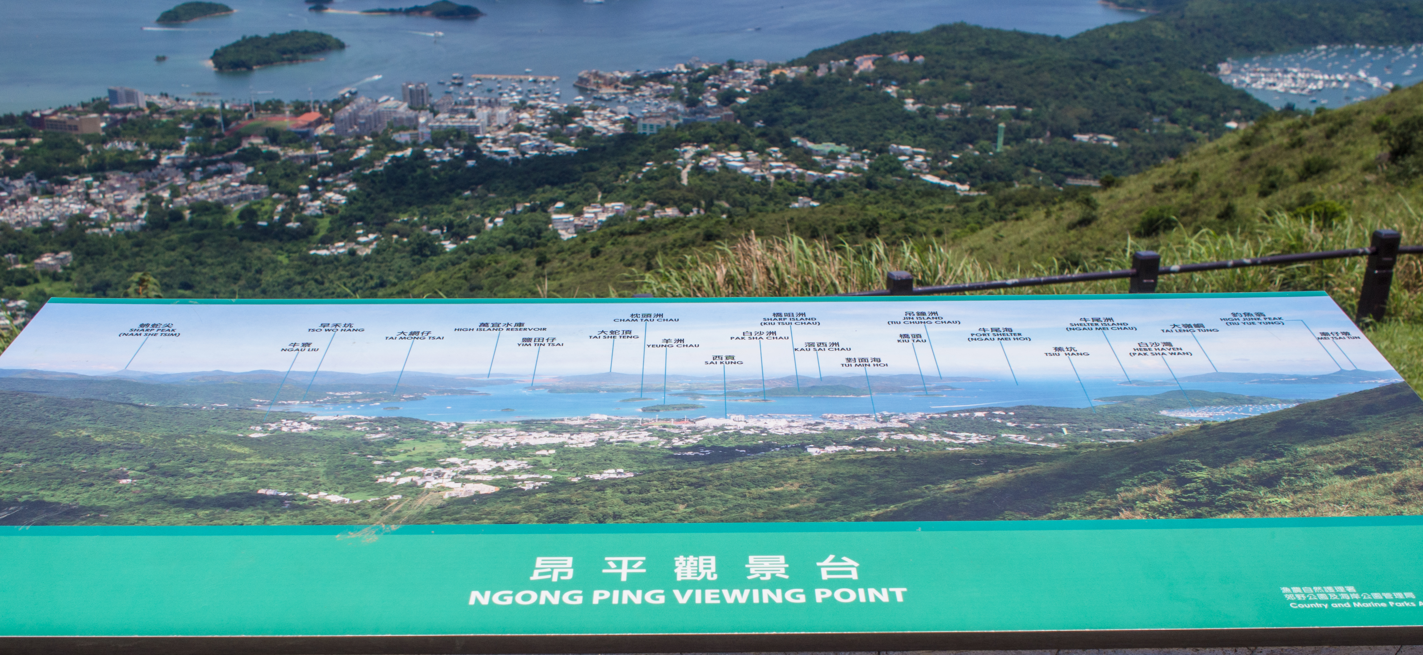
Map @ one of the resting stations
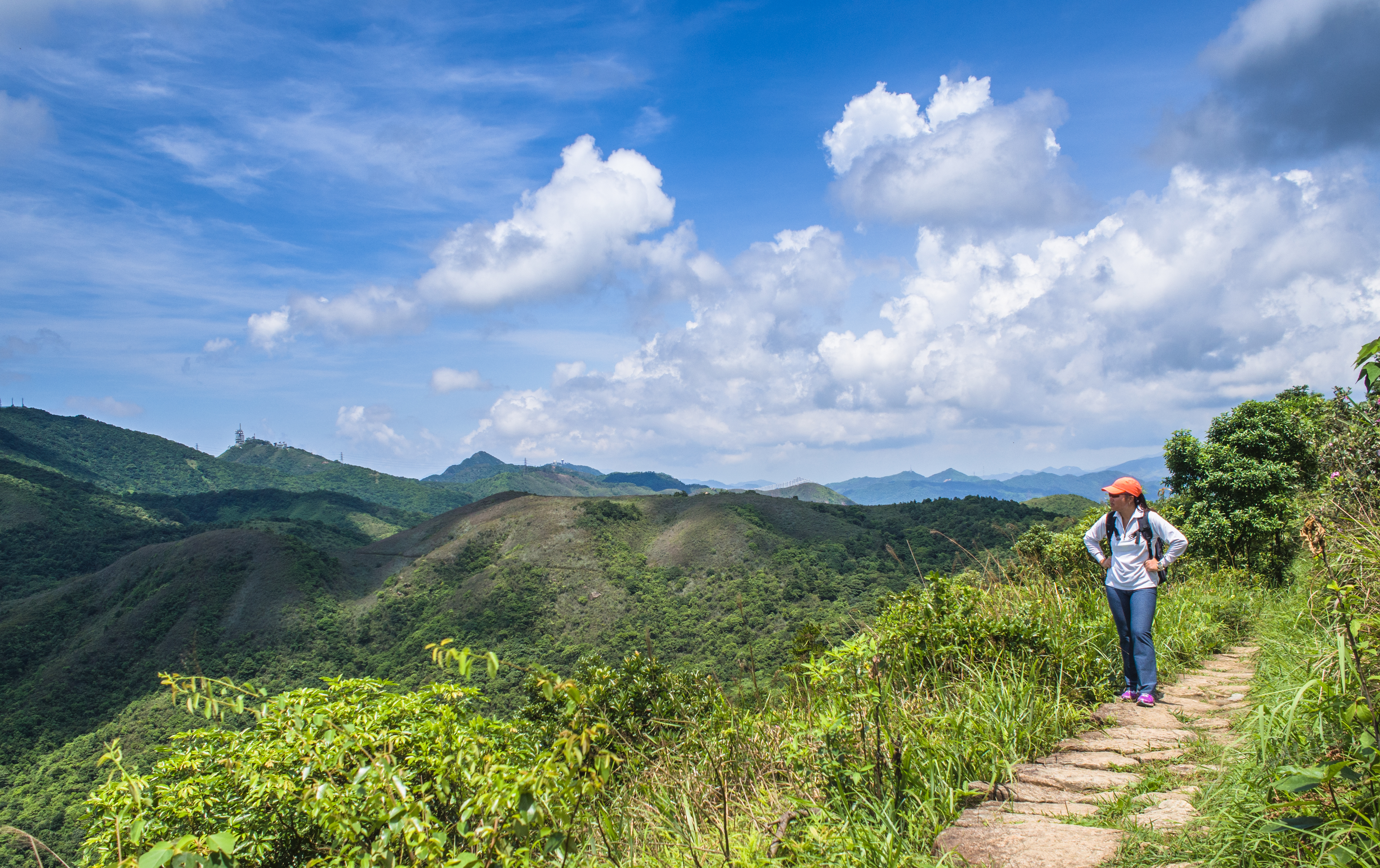
Along the way we saw lots of big dung. It made me wonder (until I examined the map and realised we were walking on Buffalo Hill) and Ma On Shan 馬鞍山 (Horse Saddle Hill), the mid point, seemed far away. We’d run out of water completely and the heat was sucking our willpower out of us faster than a leech could suck blood.
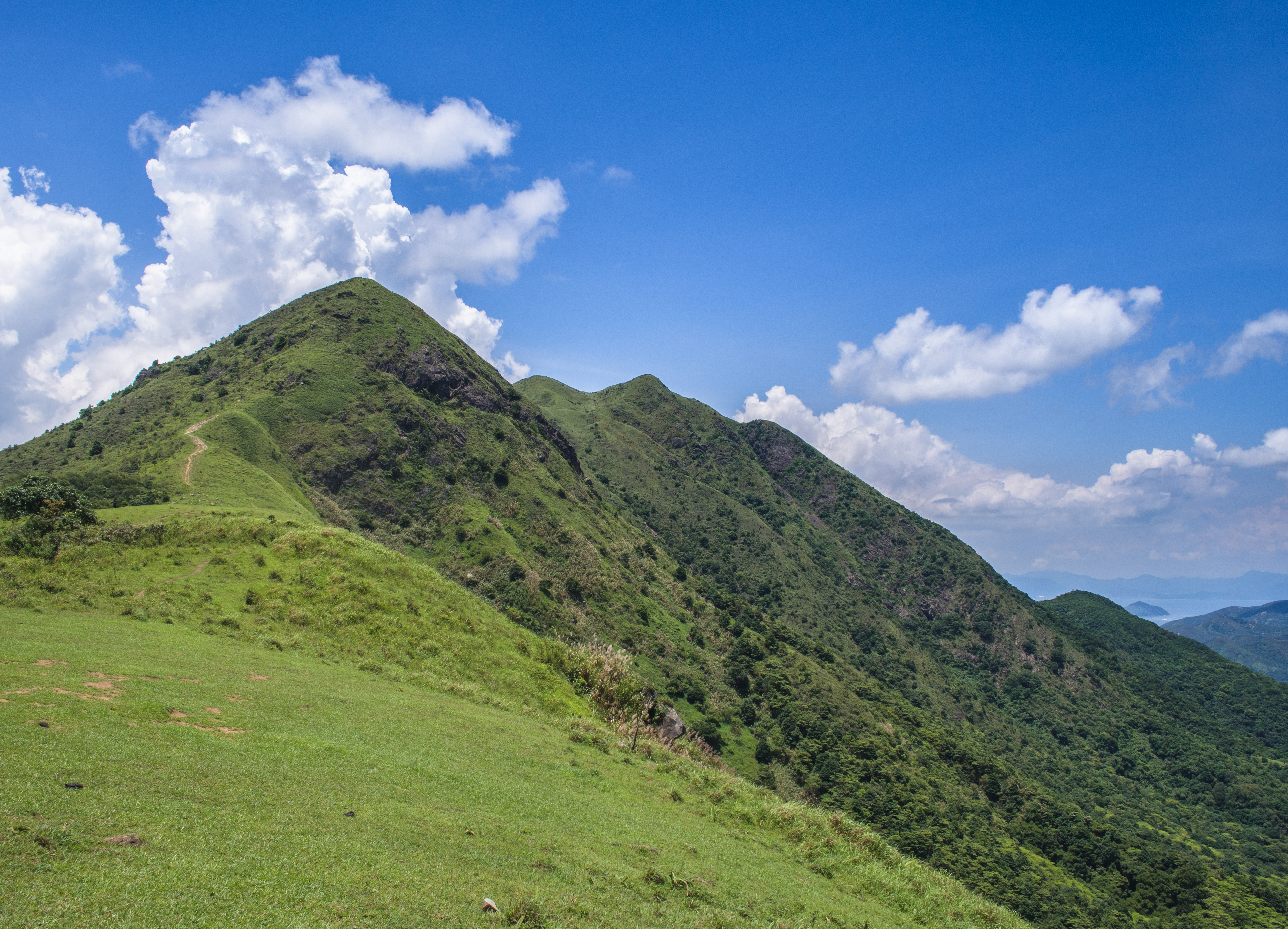
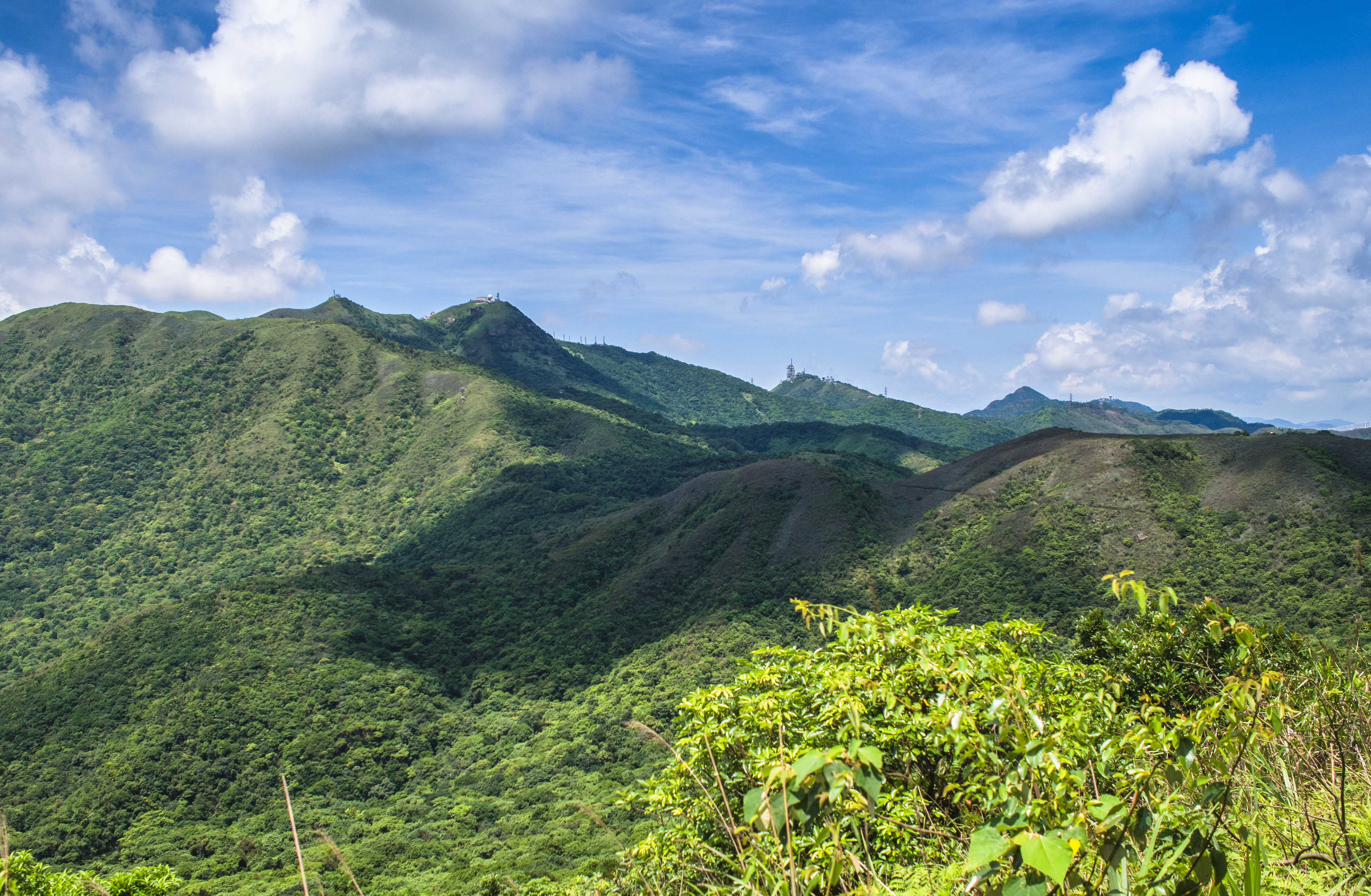
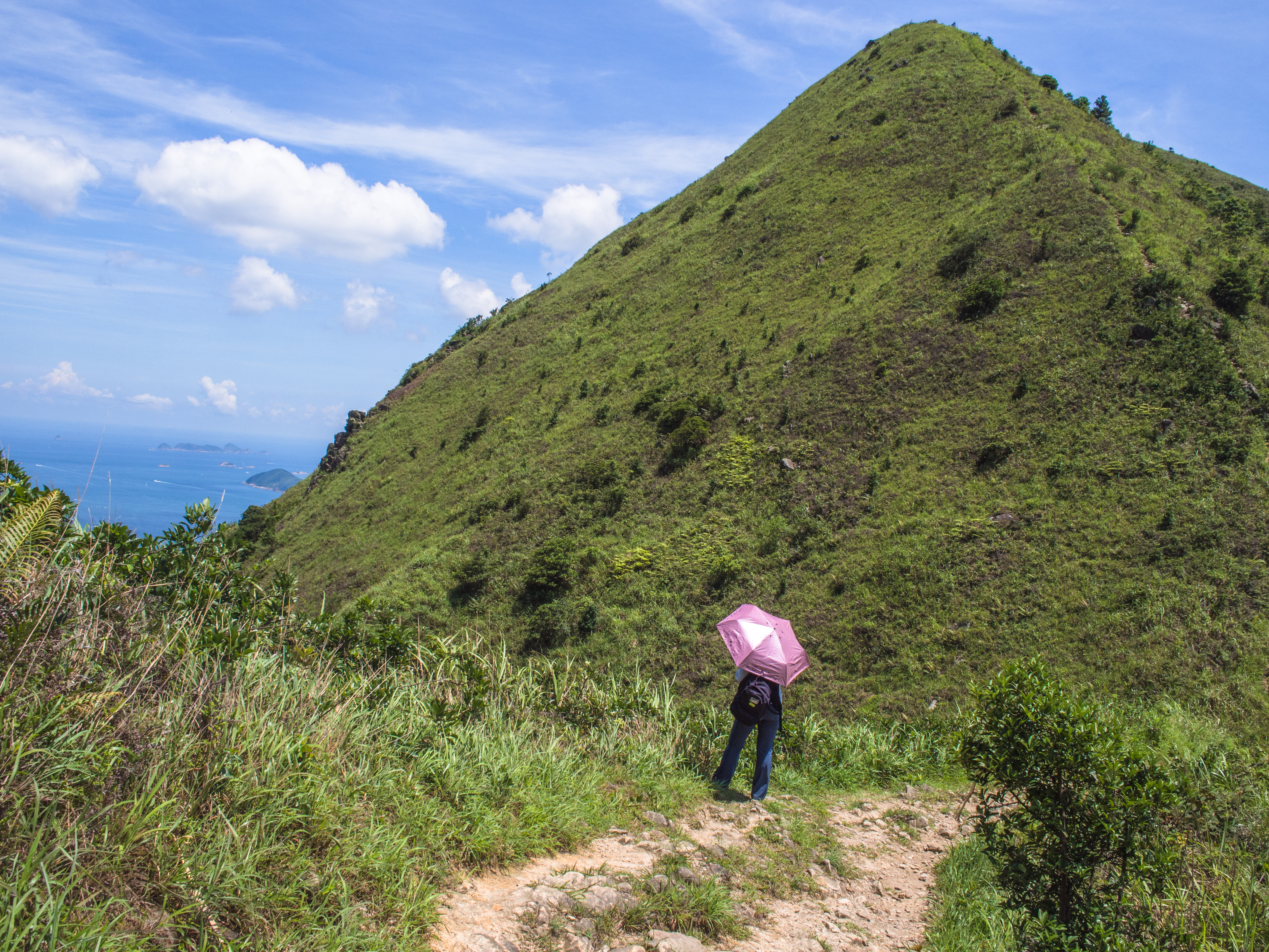
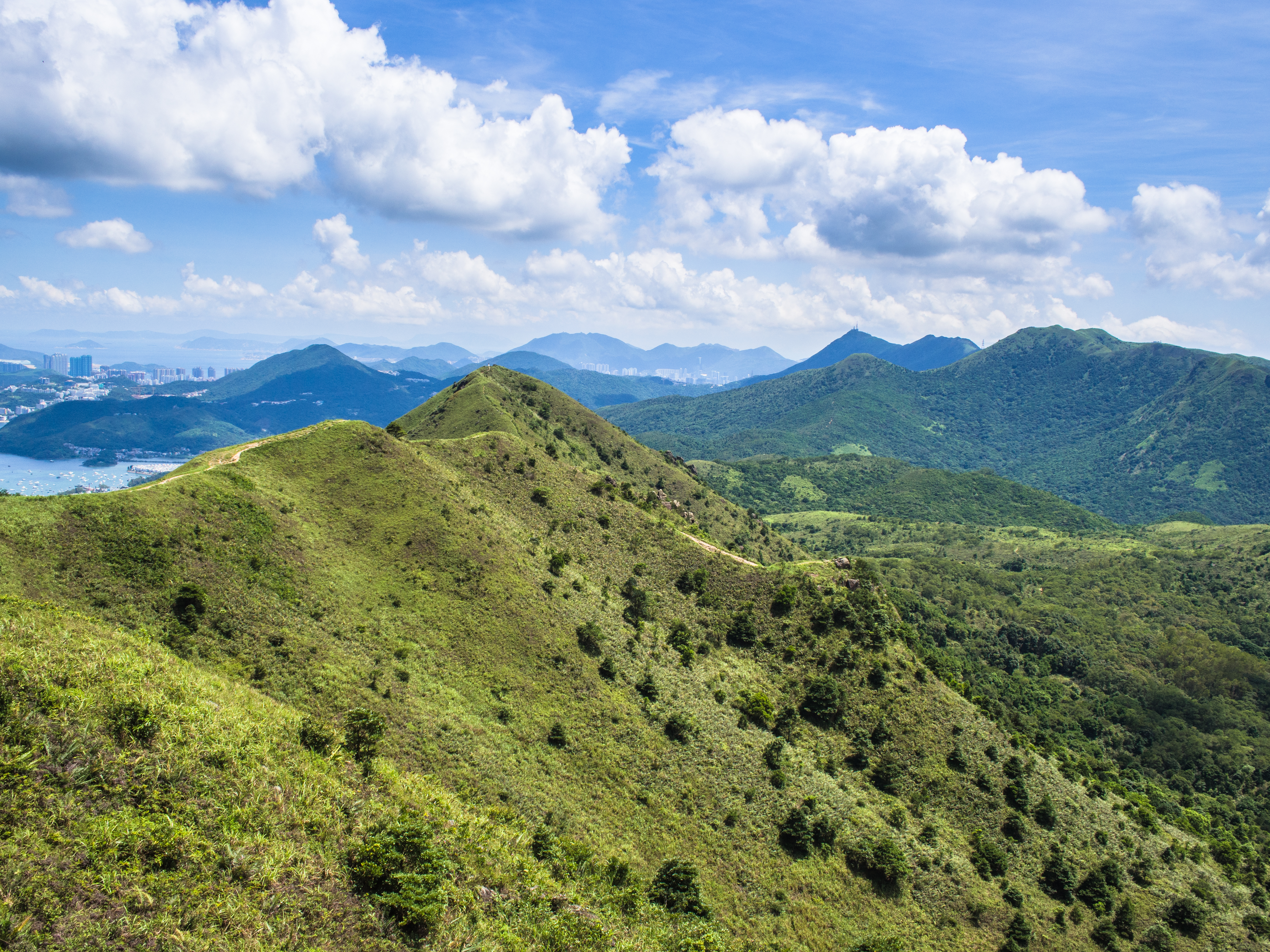
Pyramid Hill
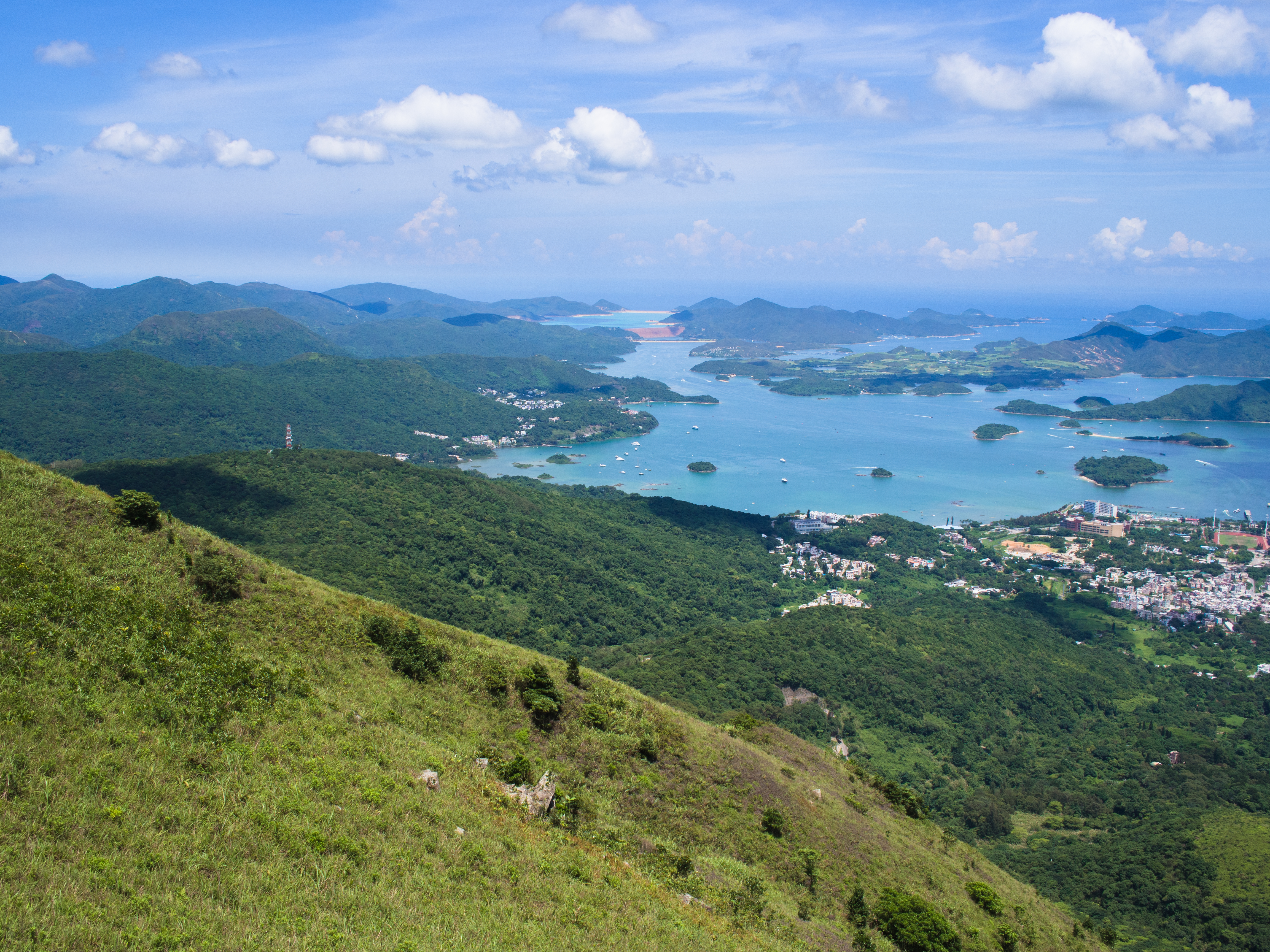
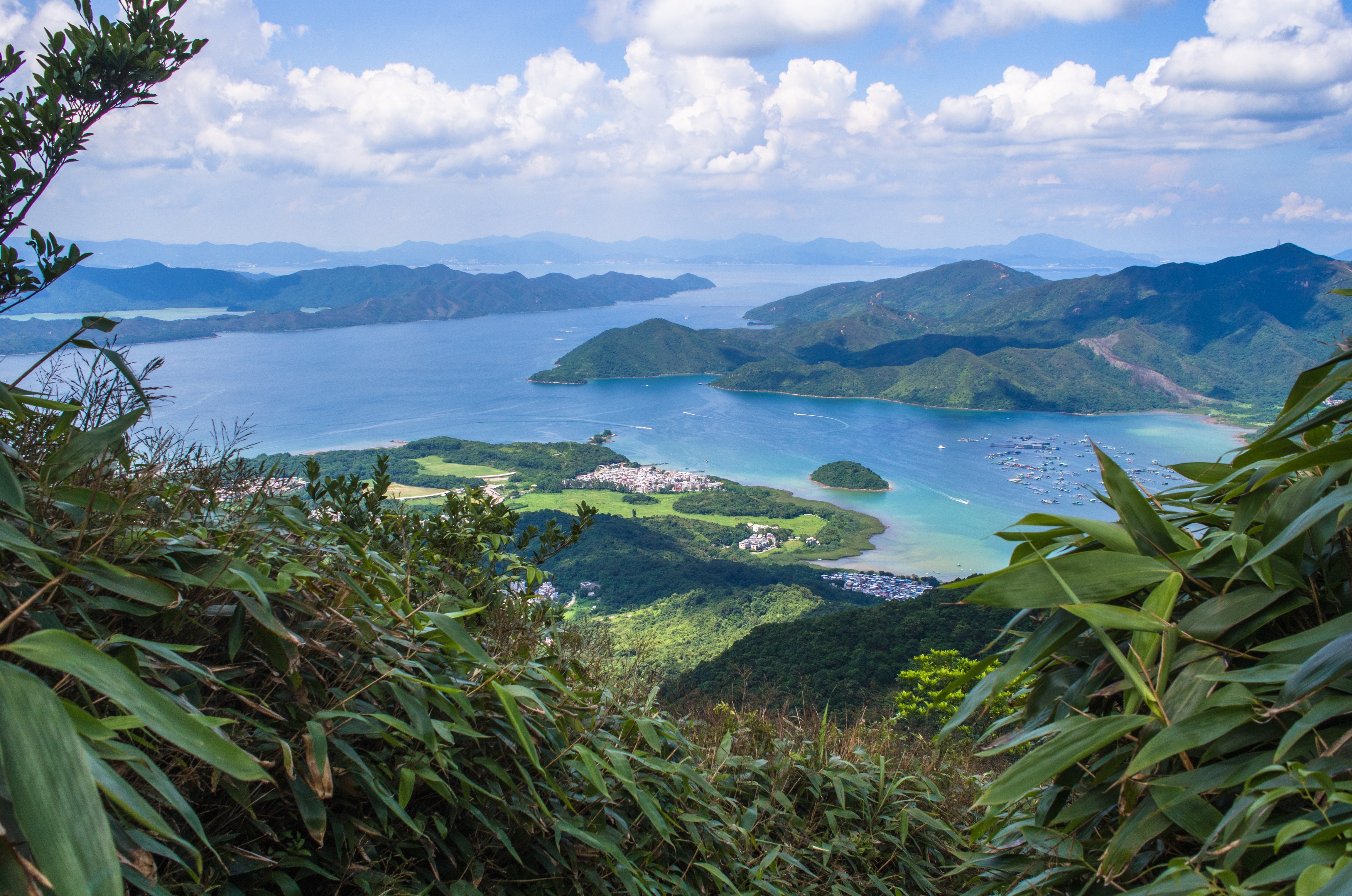
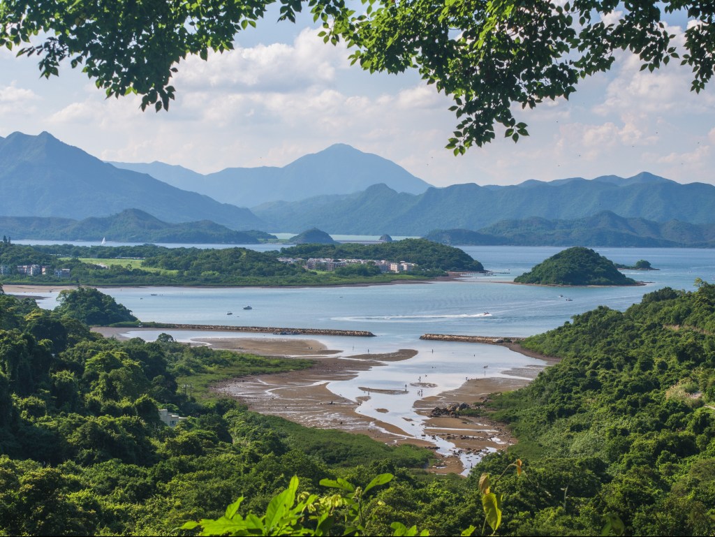
Thinking we had to climb up Pyramid Hill, we took a long break under the shade near Horse Saddle Hill. The view from Horse Saddle Hill was quite stunning.
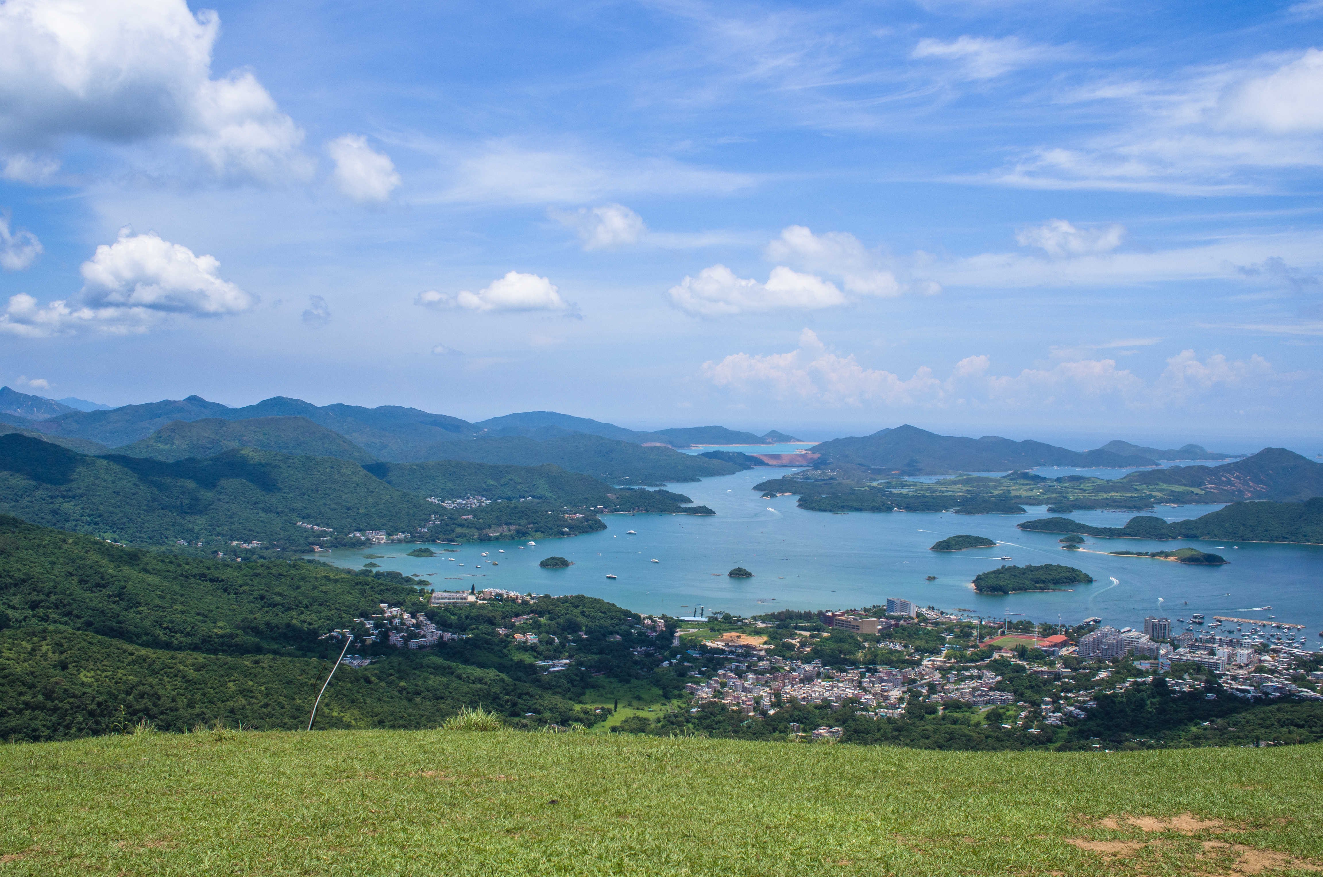
Beautiful bay
From Horse Saddle Hill
Vantage point @ Horse Saddle Hill
Reluctantly, we trudged towards Pyramid Hill. Much to our relief, the trail went around its base instead. and we found a spring. There was nothing like nature’s water to revive wrung, dehydrated souls!

Pyramid Hill
Looking back at Pyramid Hill
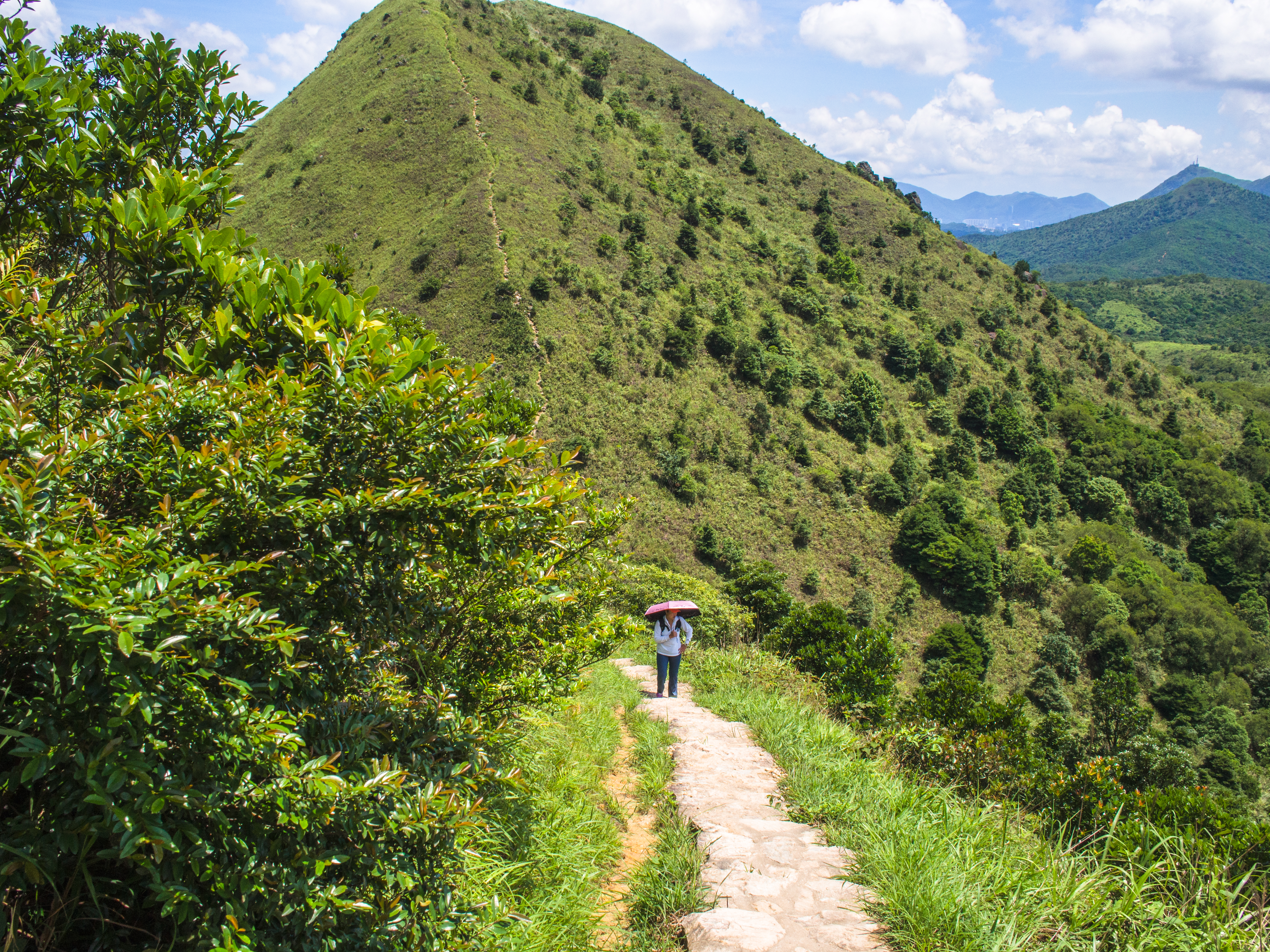
Leaving Pyramid Hill behind
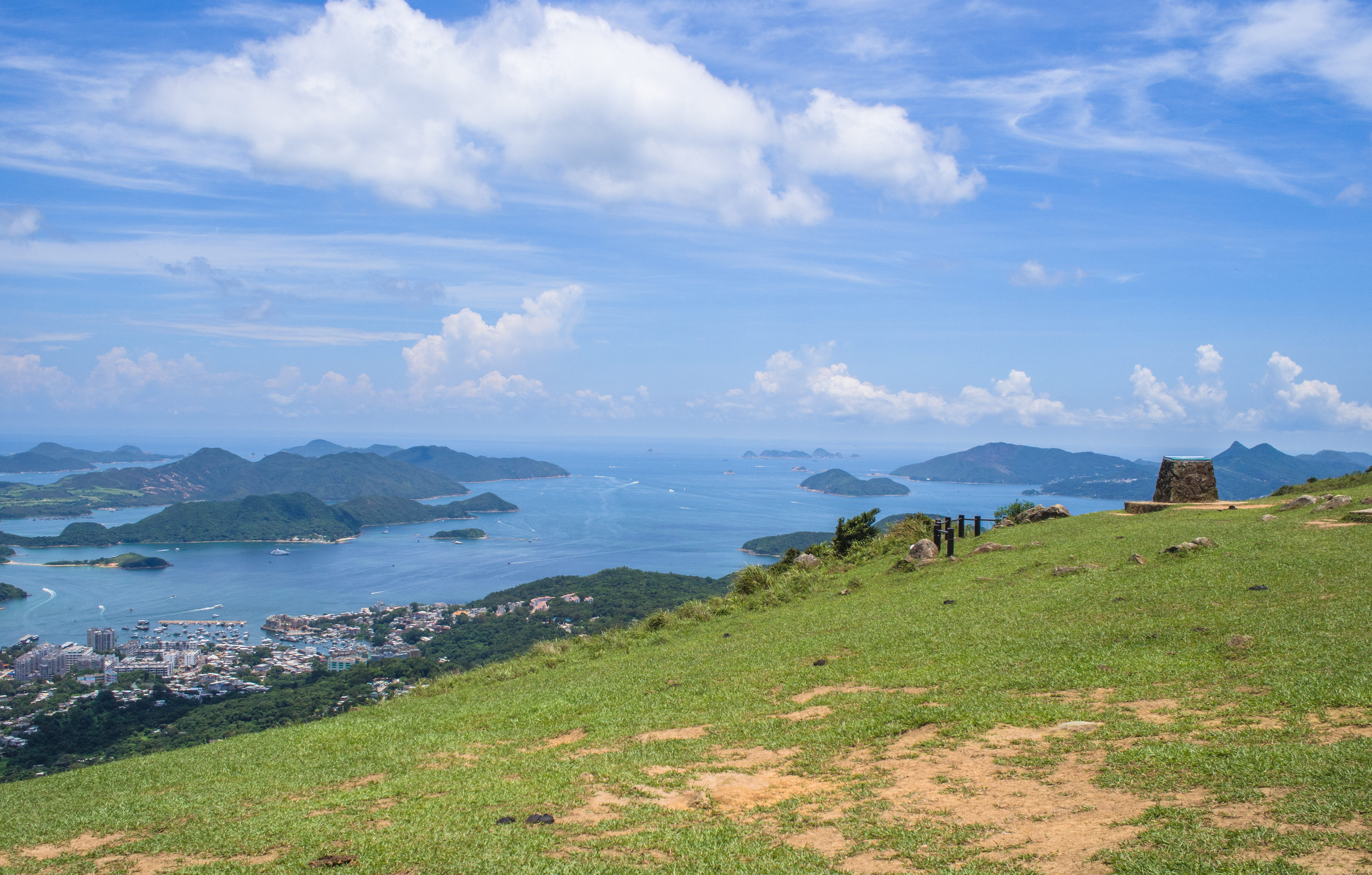
We looked back, we got a glimpse of the town nearby.
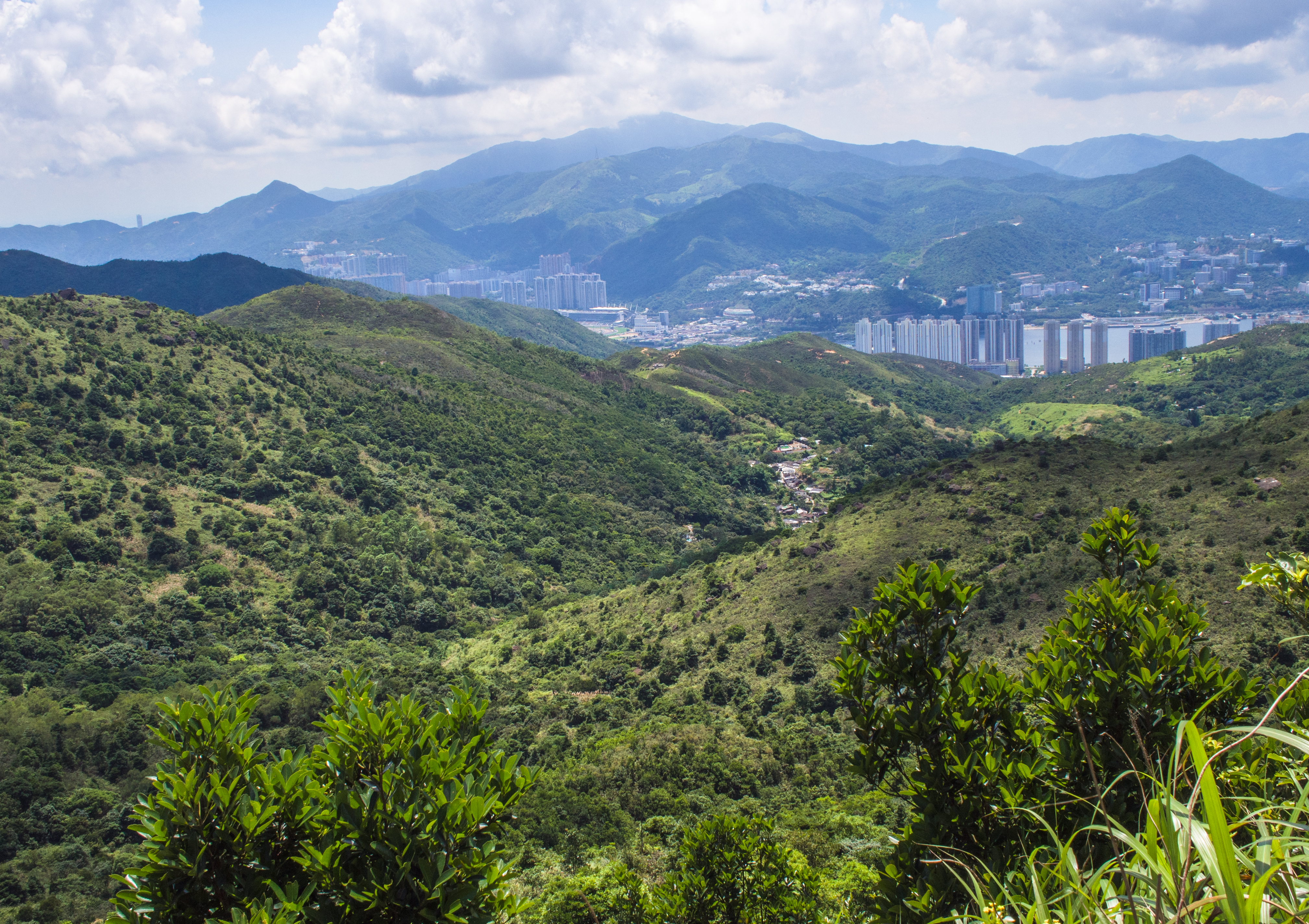
The city beyond
And the beautiful sea
The trail looked beautiful too, because of the weather. Treacherously beautiful.
Over the hill – that’s Pyramid Hill behind
On the ridge
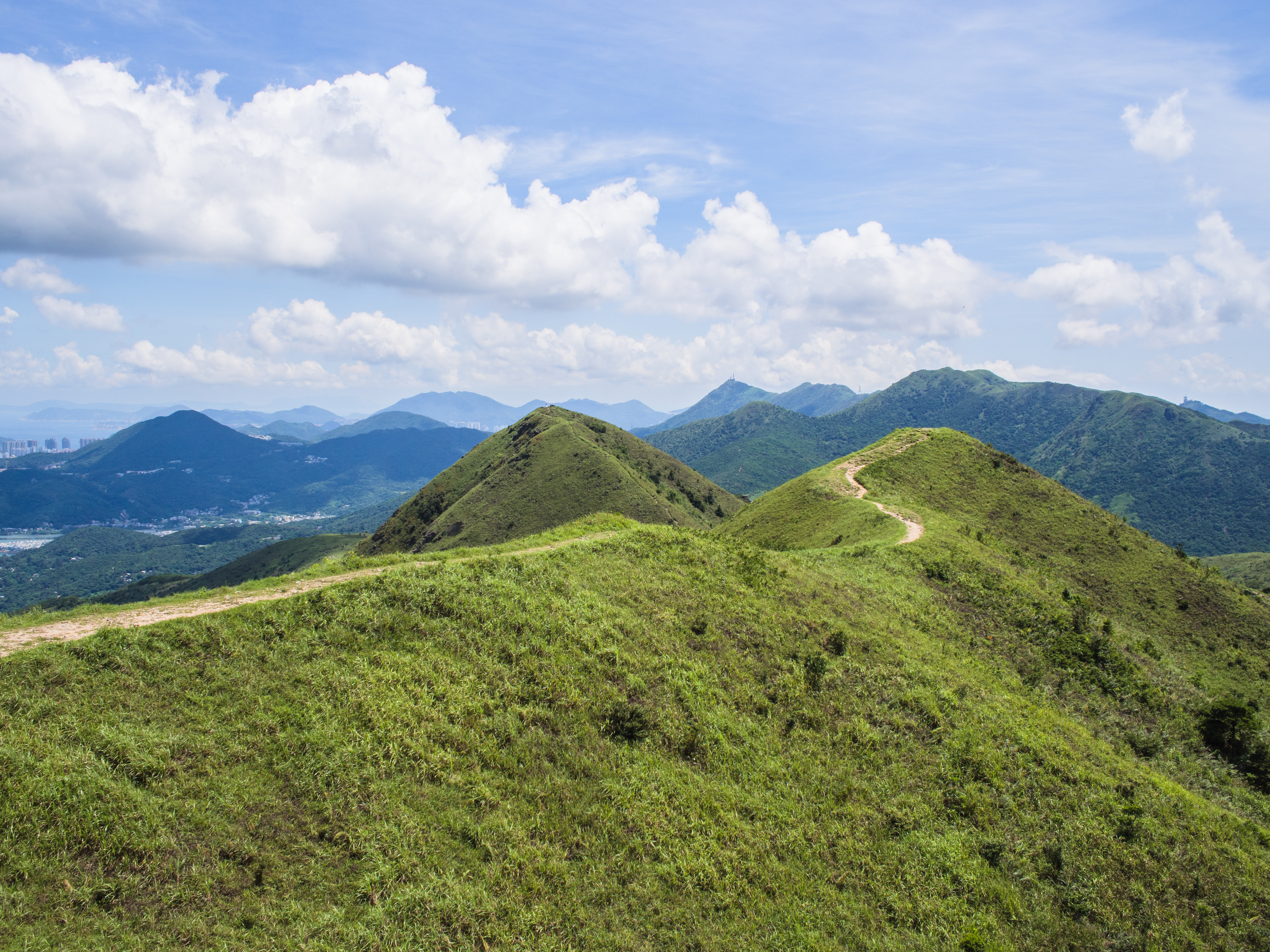
Looking back at the trail we took
As we began the steep climb down, we saw a beautiful cove unfold before us. Could this be Hong Kong?
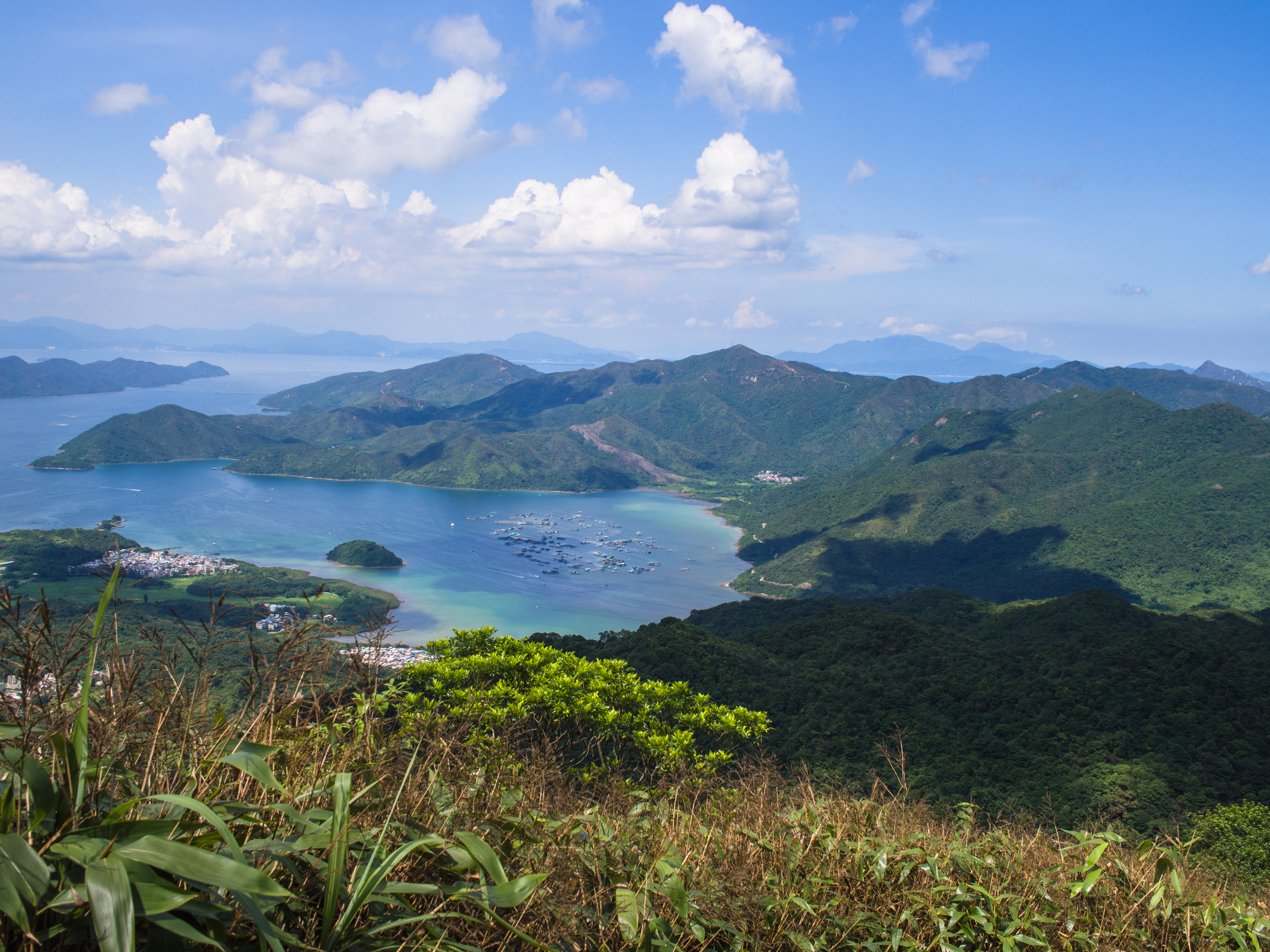
Beautiful cove, while going down
Pristine waters
Finally the trail flattened into a gentle forest walk but there was still a long way on another tarmac section before we finally reached check point 69.
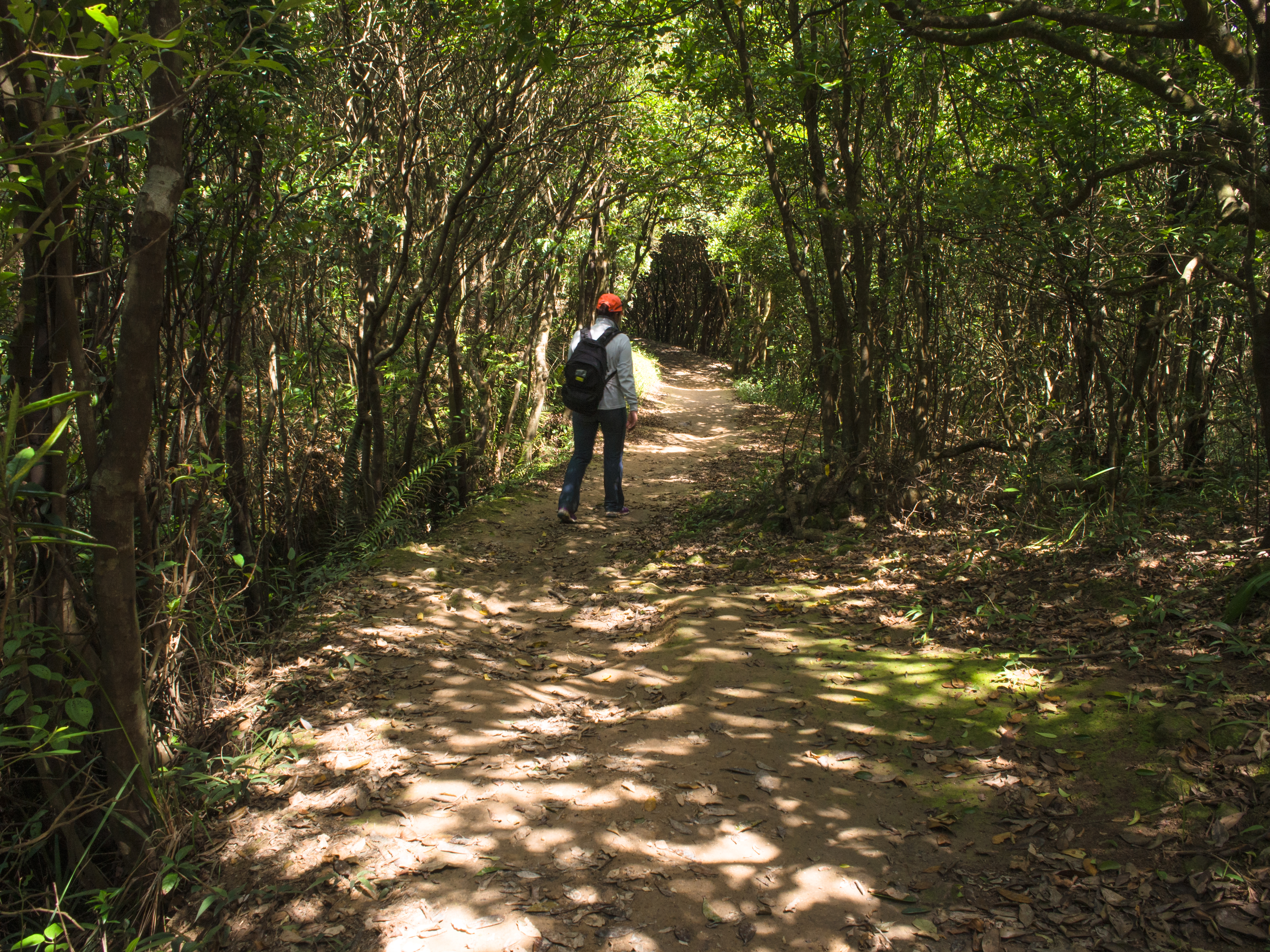
Beautiful shade
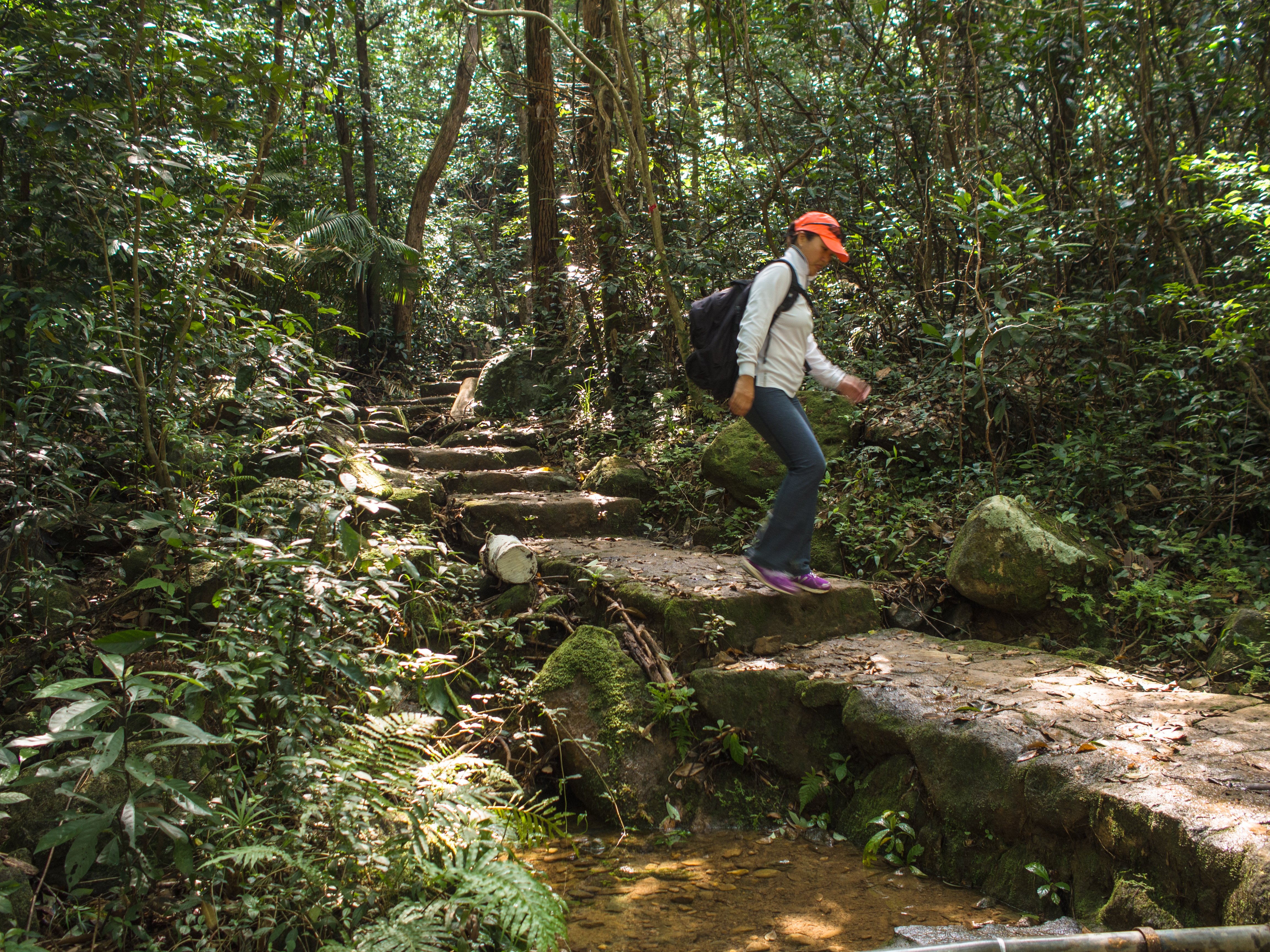
Walking down stone path
Peek a boo, as we neared end point
The shore, close up
It was past 4pm when we emerged from the trail back on the road (we started at 9am). Our hearts were singing for ice cold beer. Back to civilisation at last!
Sai Kung, here we come.
Categories: Hiking, Northeast Asia
