
First, to the Blue Lake
From inside the cable car, Lac Bleu looked like a deep, sapphire-blue oval nestled by the side of the snow-white slope. It appeared big, yet close-up, it was tiny, more like a pond. By itself, it didn’t warant the 15-minute detour from the Plan de l’Aiguille cable car station (2317m). But the walk to Lac Bleu was beautiful.
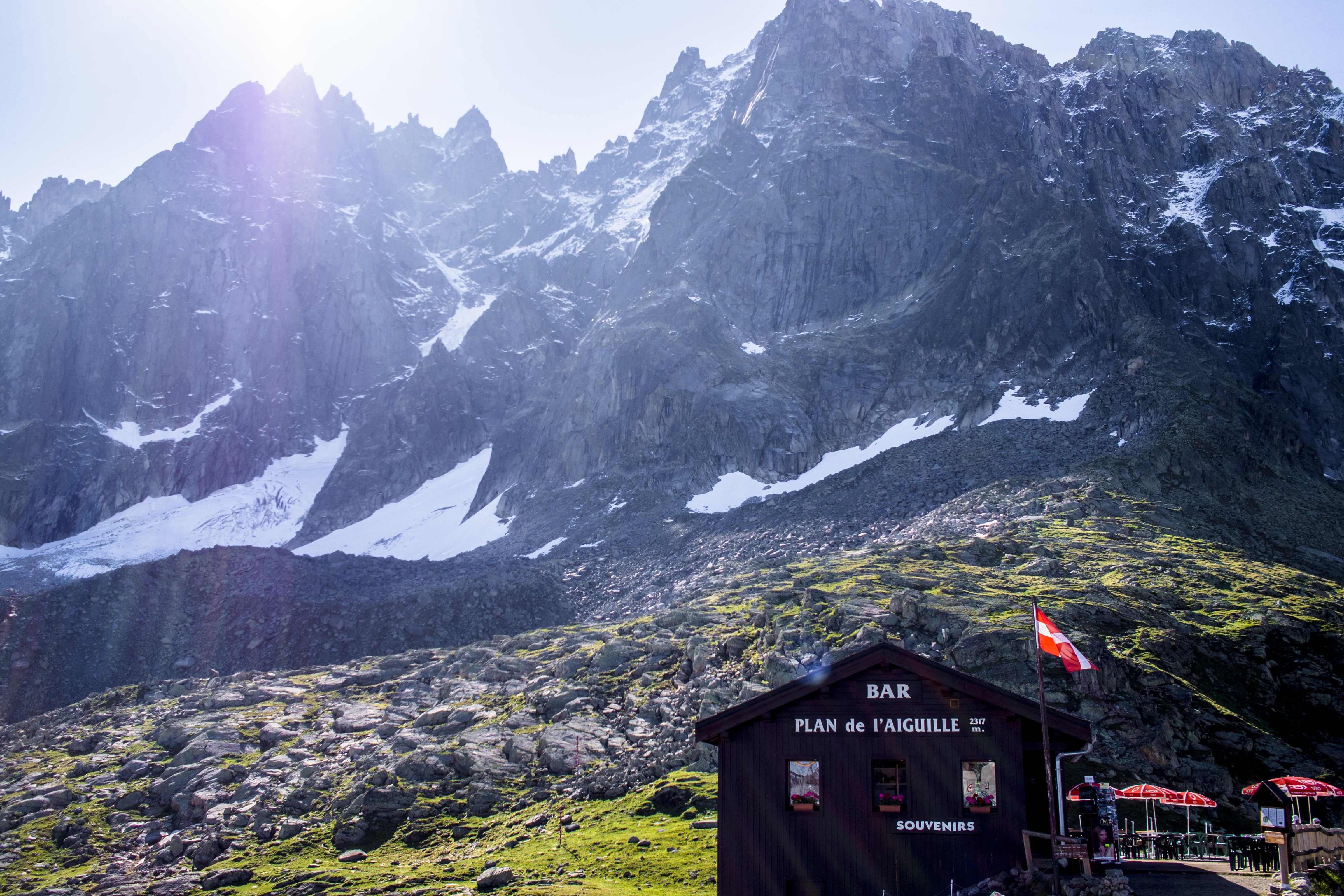
Too early to party – Bar Plan de l’Aiguille
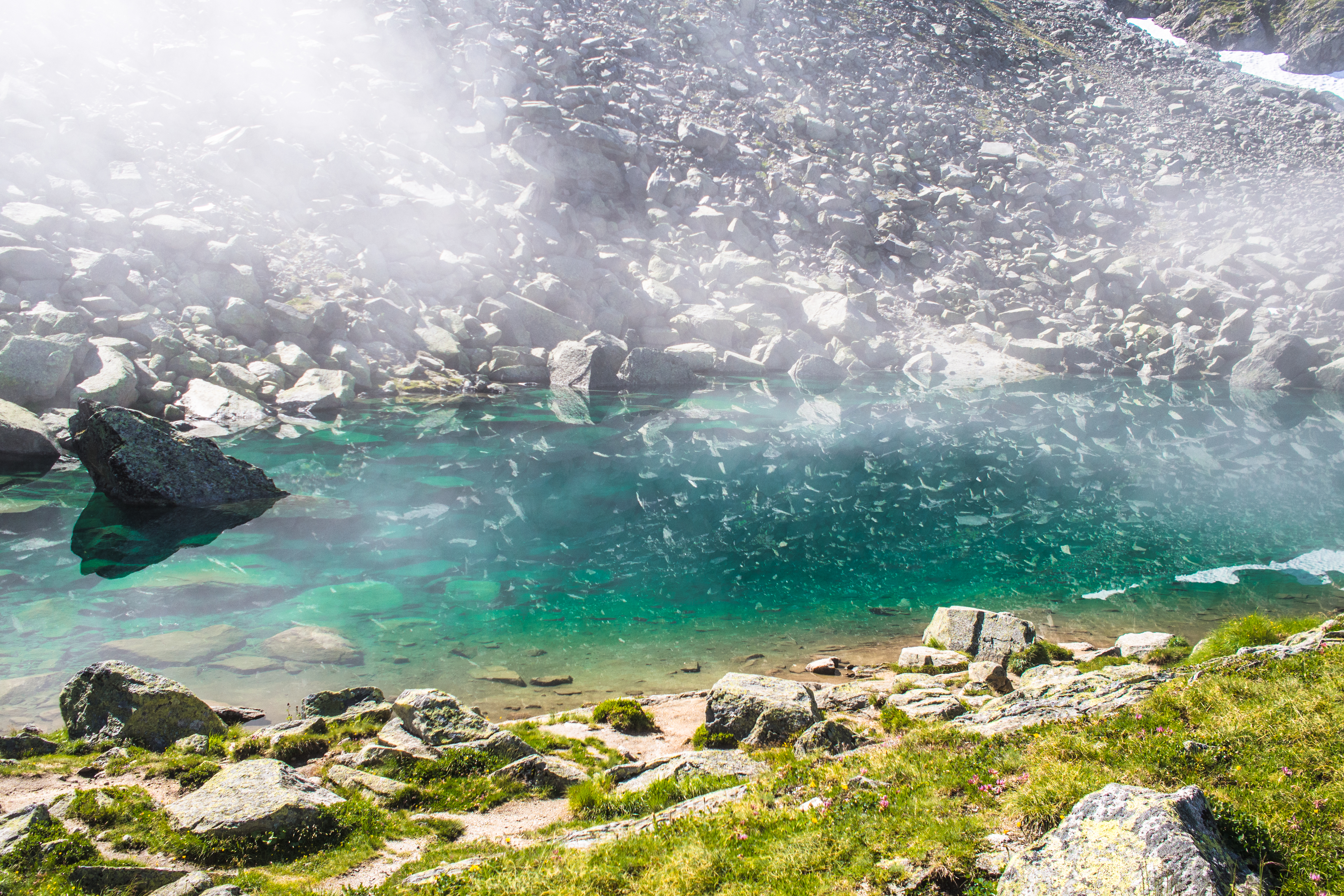
close up: Lac Bleu
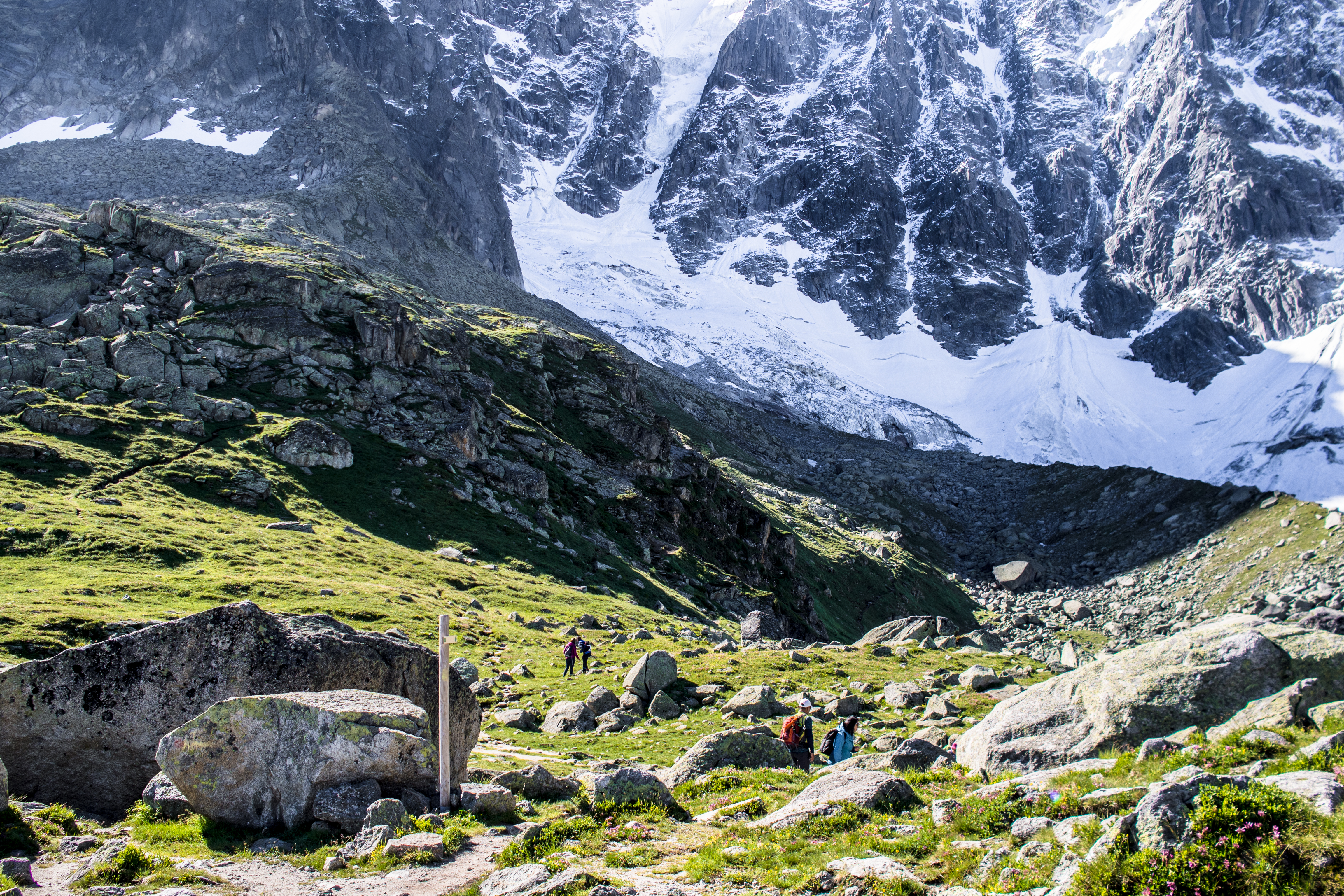
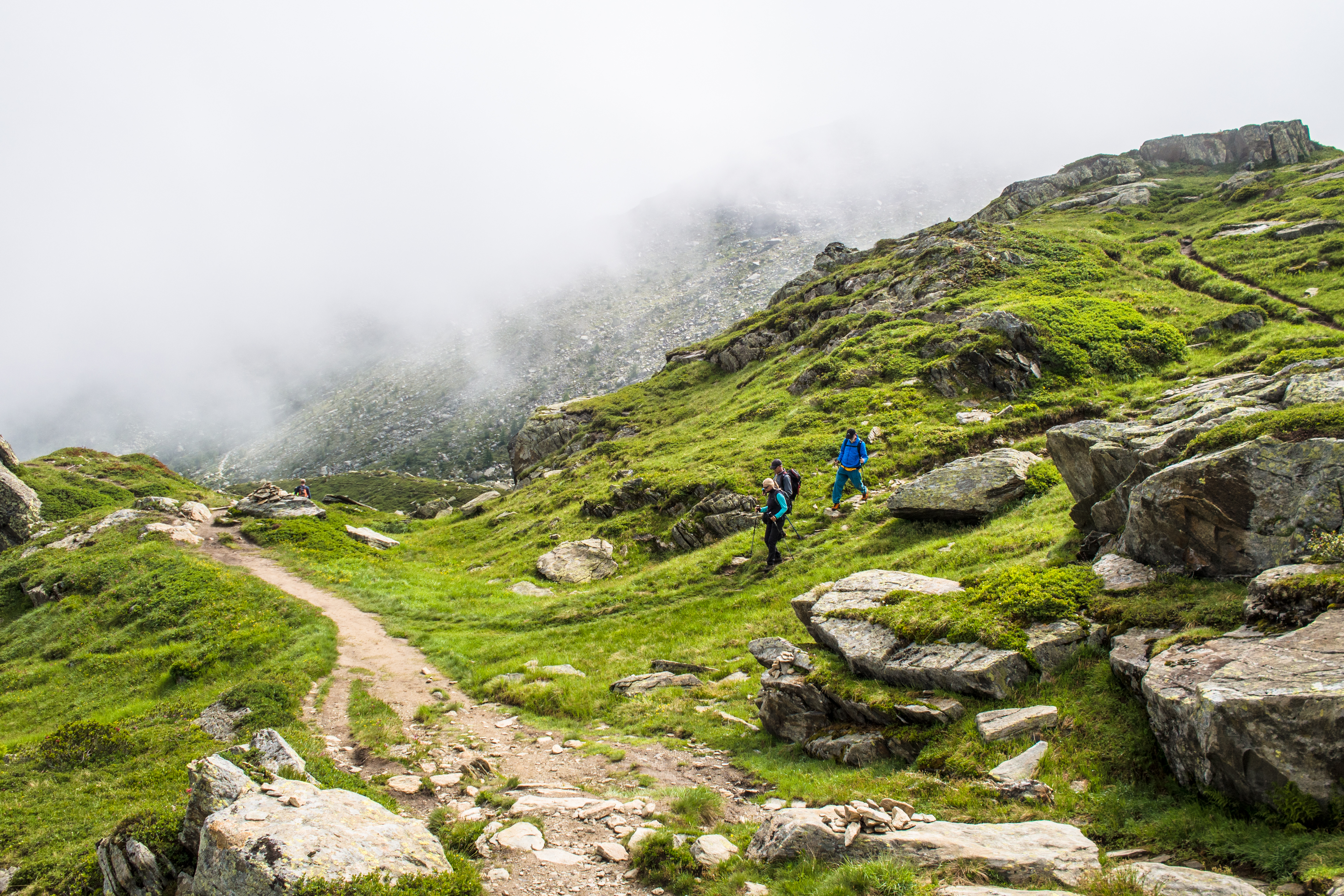
There were minor trails leading downhill from Lac Bleu (2299m). The view was obscured by clouds so we weren’t certain those trails would lead to Montenvers (they probably should). The safest course was to backtrack to the cable car station and take the lead from the signs.
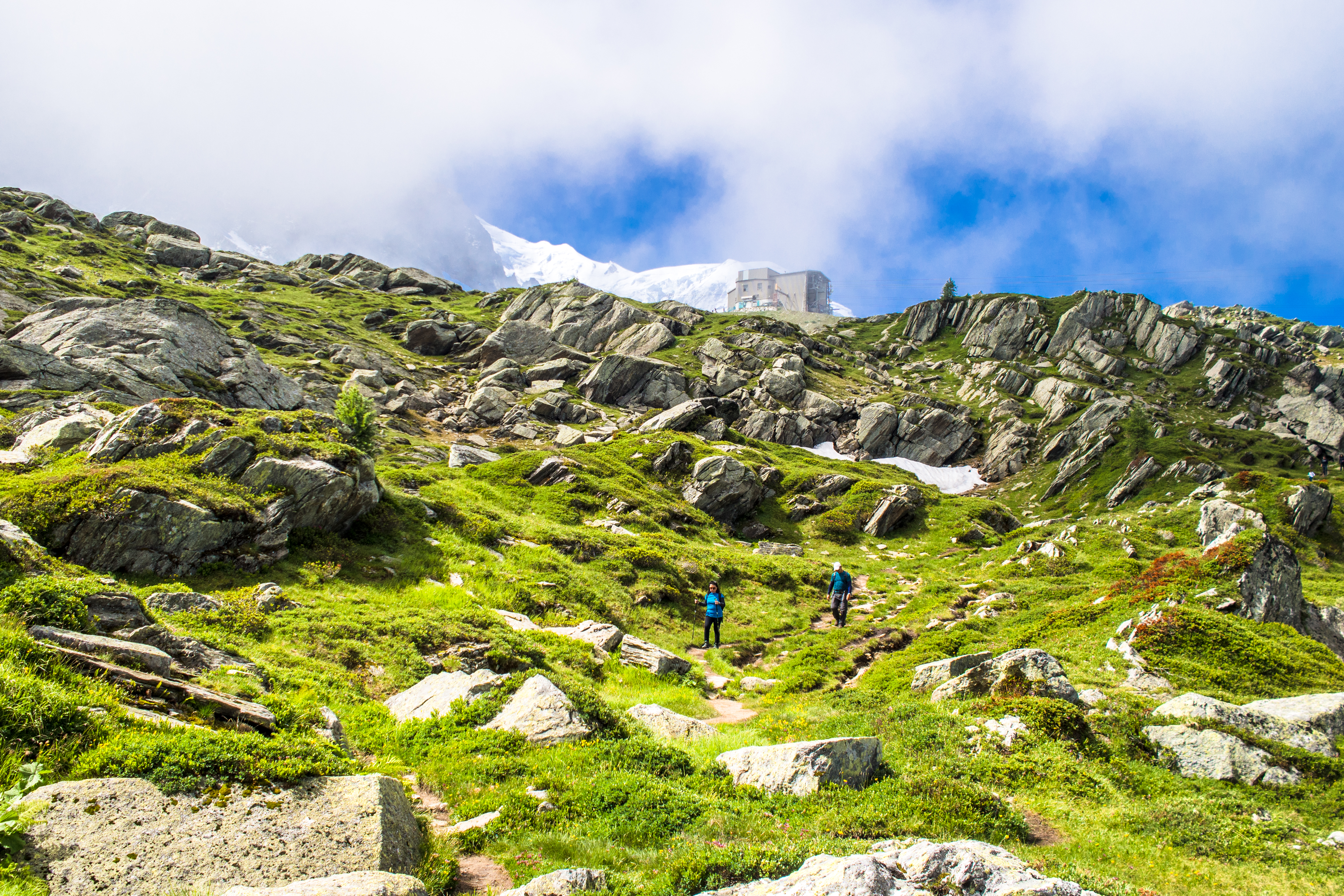
trail to Lac Bleu
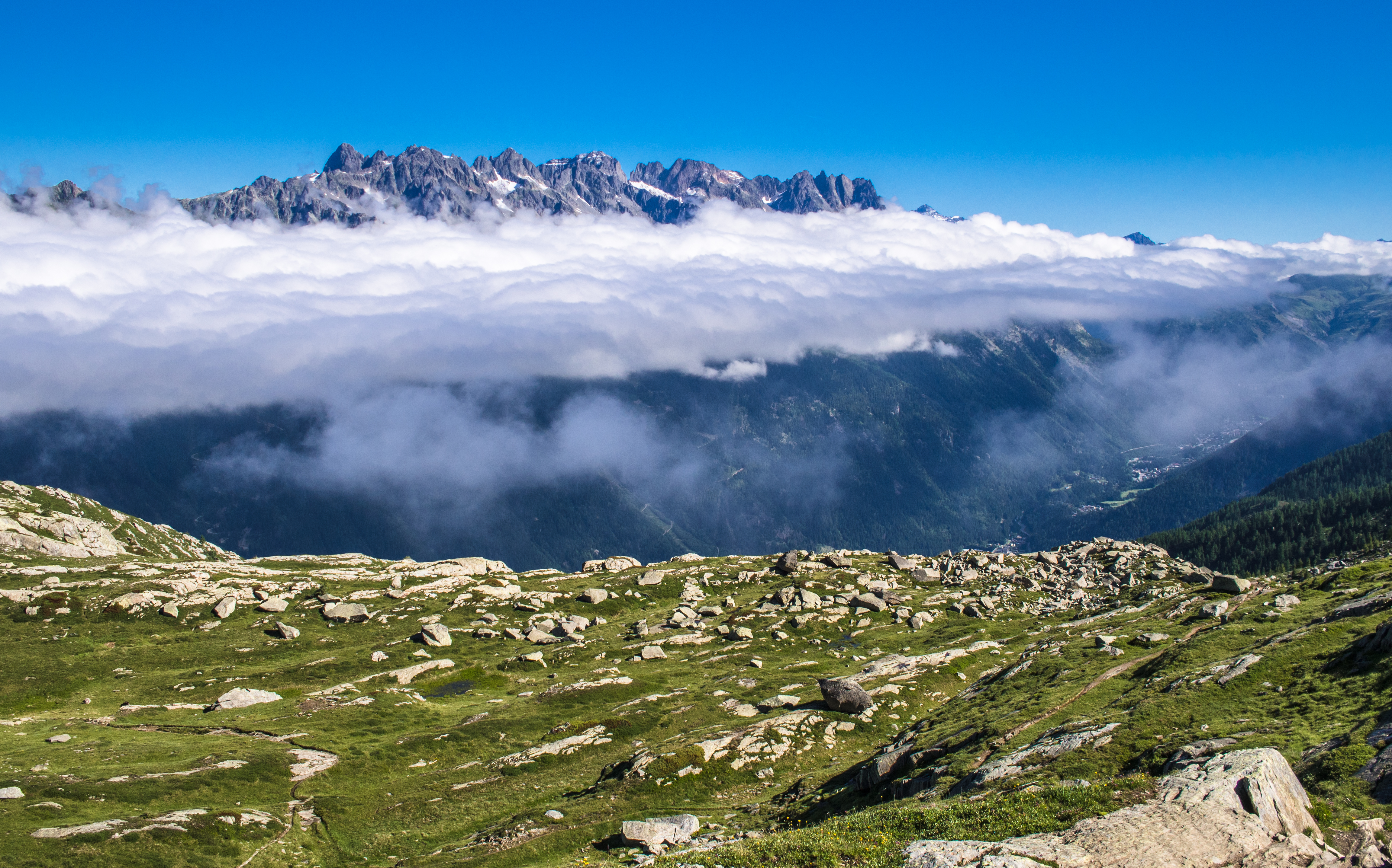
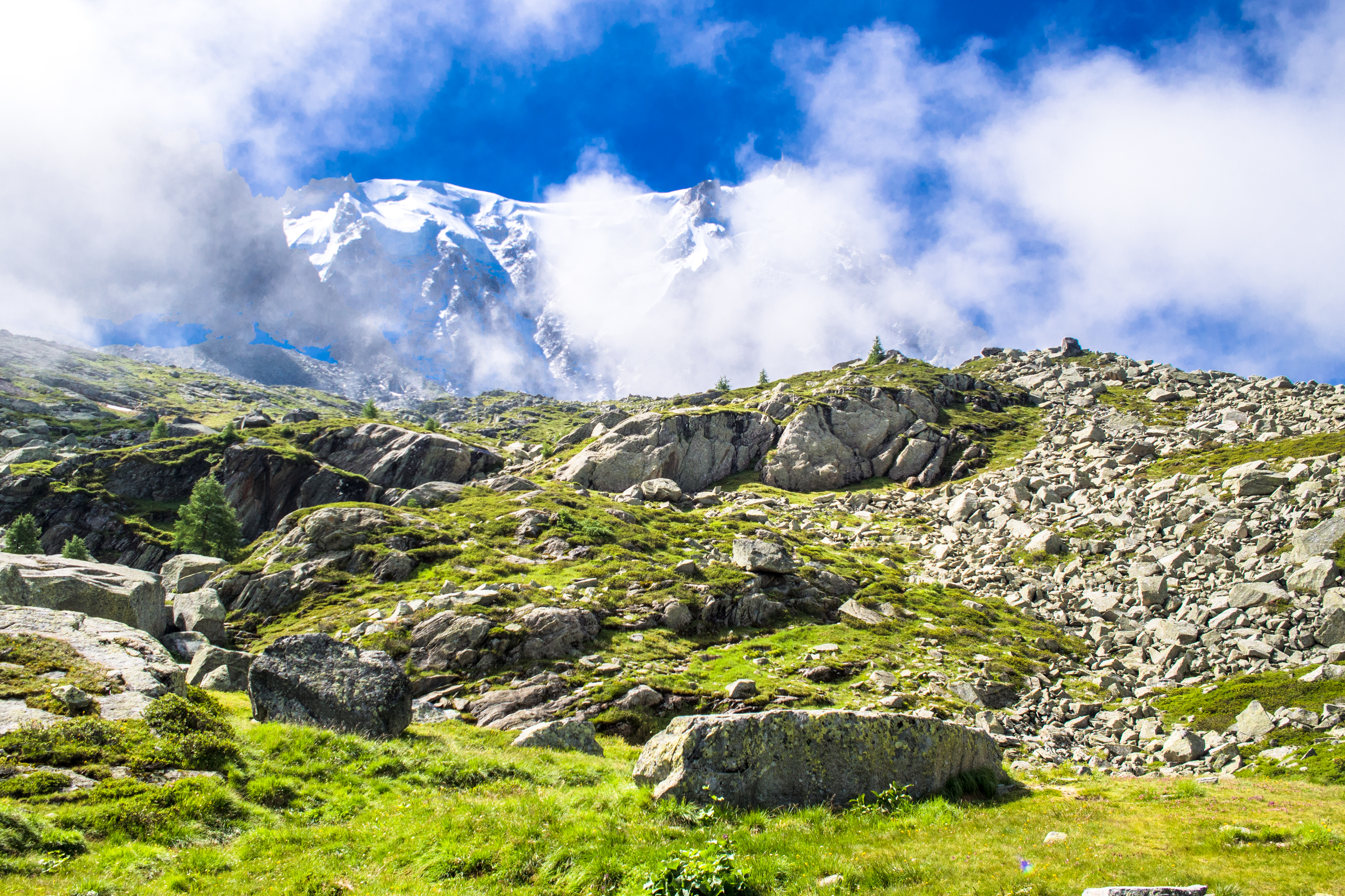
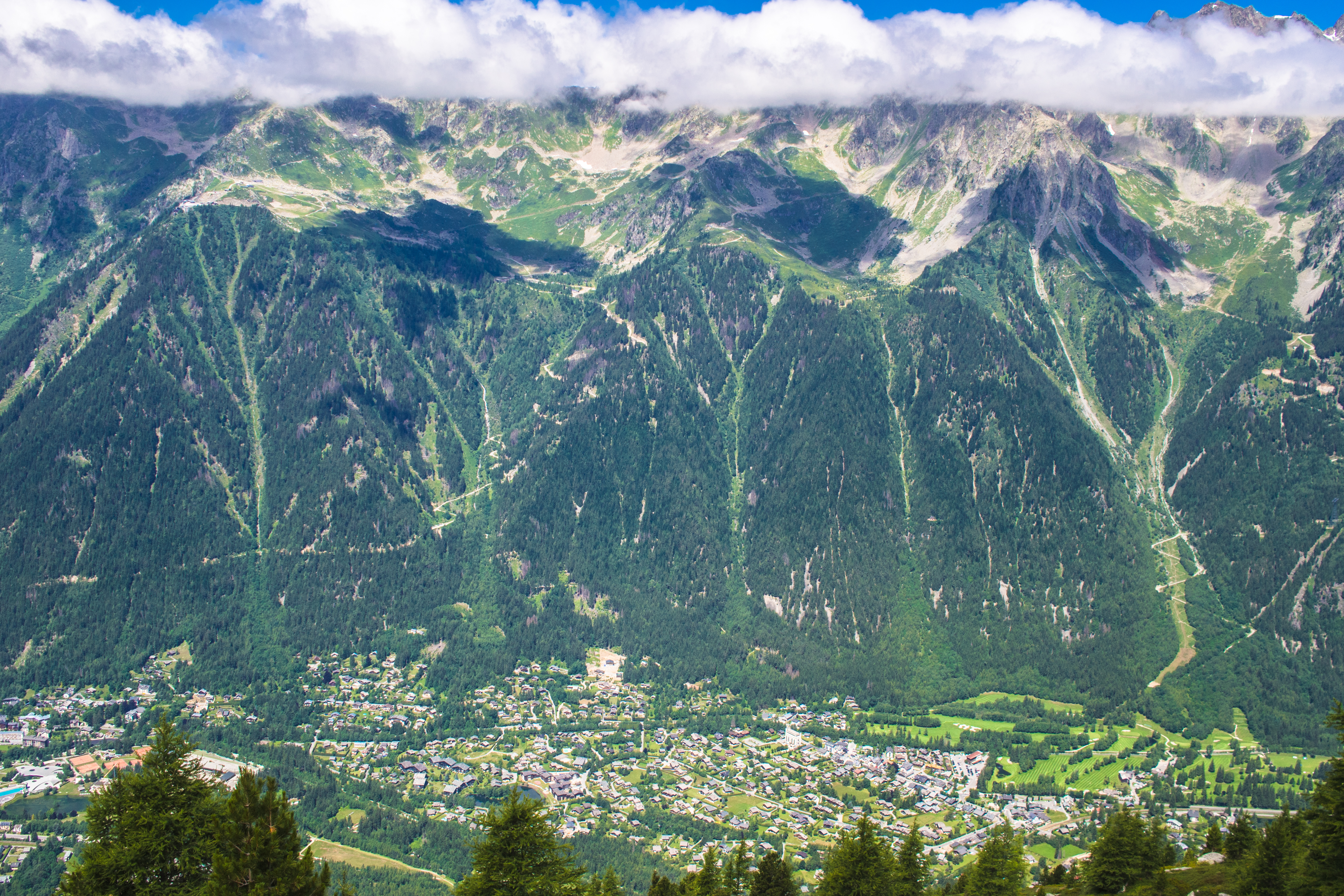
take a peek from the plain, to the city beneath the clouds
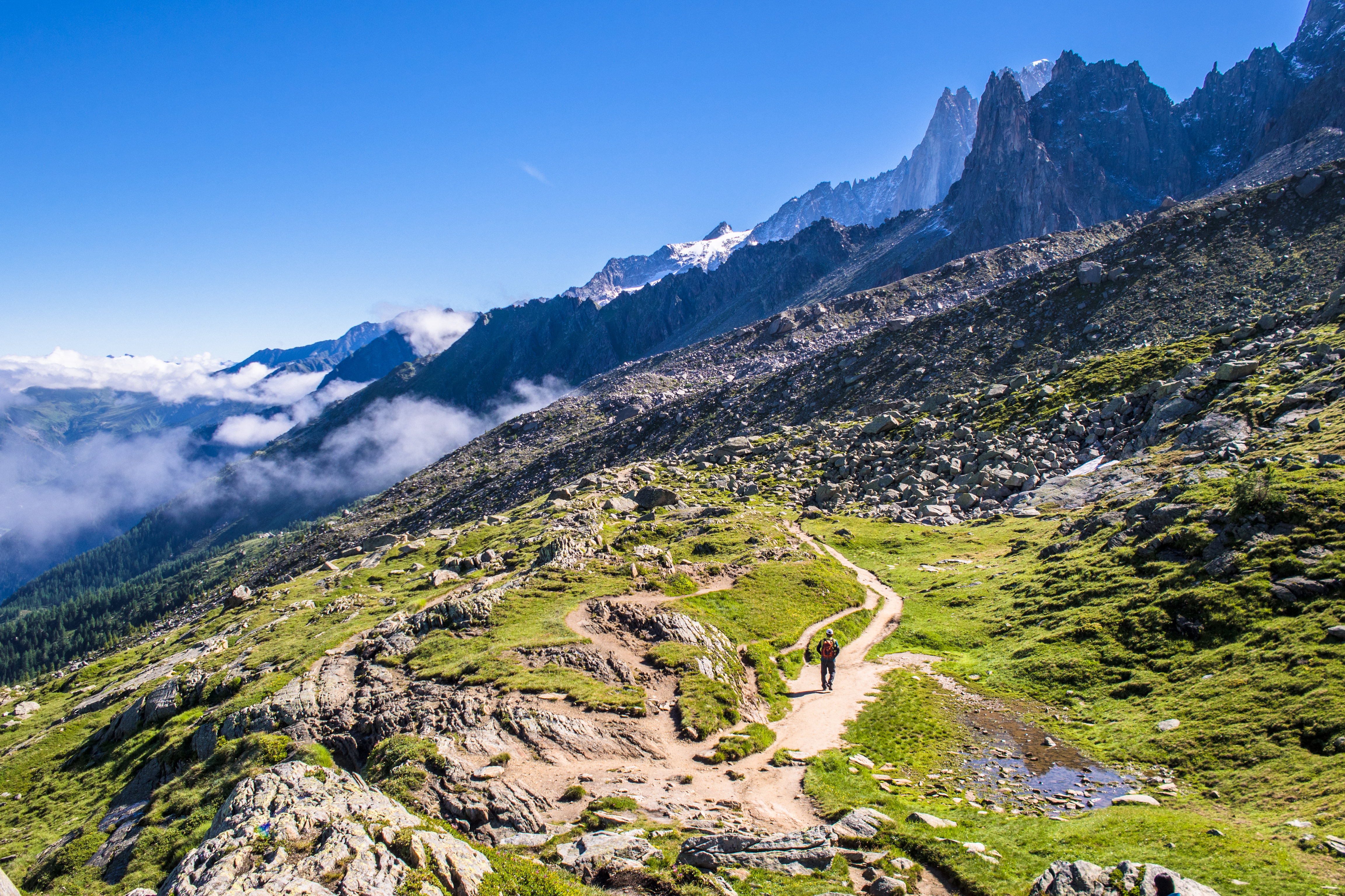
beautiful trail
heading back to cable car station
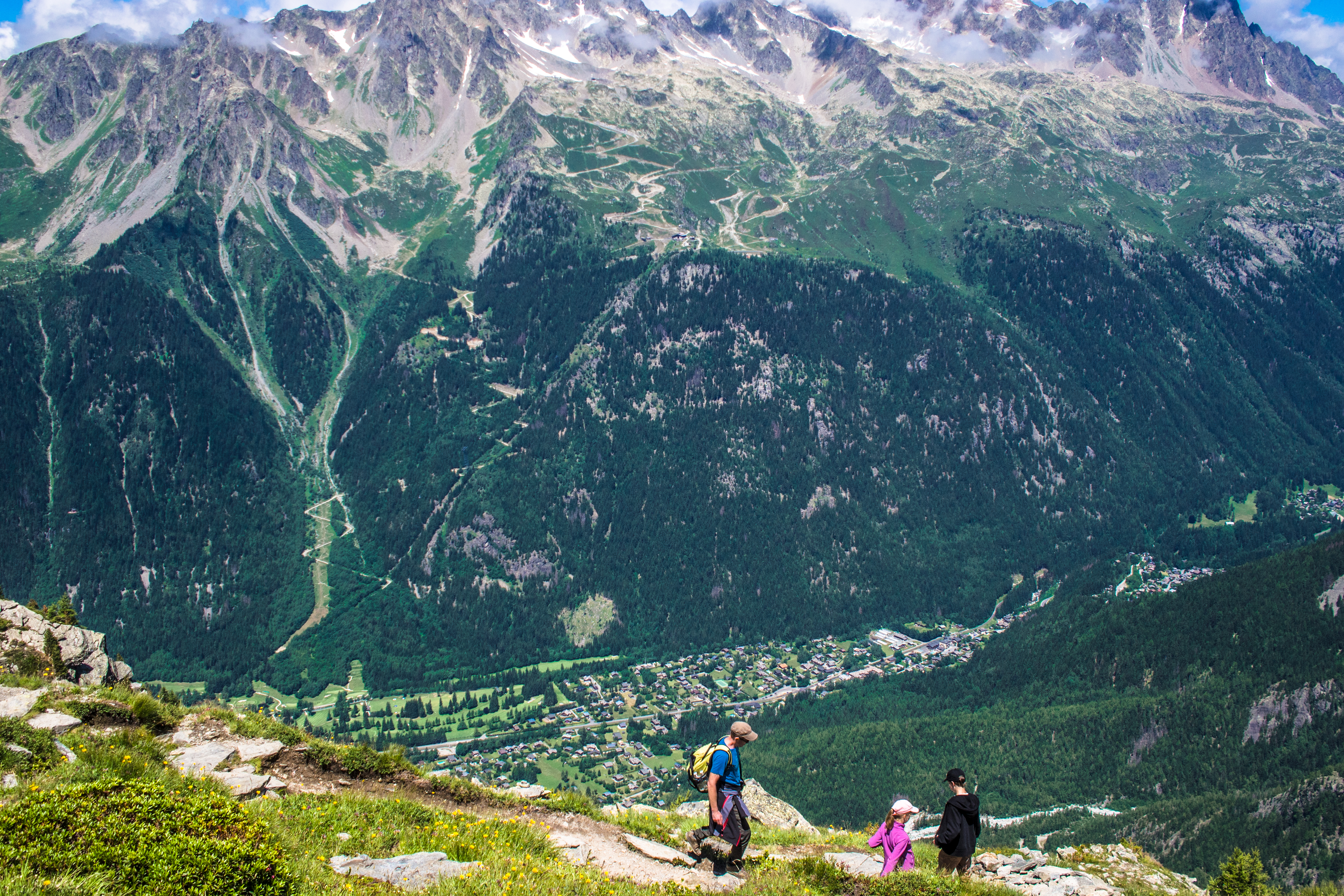
The Grand Balcon Nord Trail and the Sea of Ice
Back at the station, we examined the signs again: 2 hour 15 minute, it said, to reach Montenvers Mer de Glace (the largest glacier in France).
We started the hike on the Grand Balcon Nord at 1020 , reaching Refuge du Montenvers at 1340. That was 3.5 hours including rest time. Along the way, there were many vantage points (big rocks) where hikers could rest and admire the scene before them. The final one was Signal de Forbes which overlooked the glacier, before the descent to the Montenvers tram station.
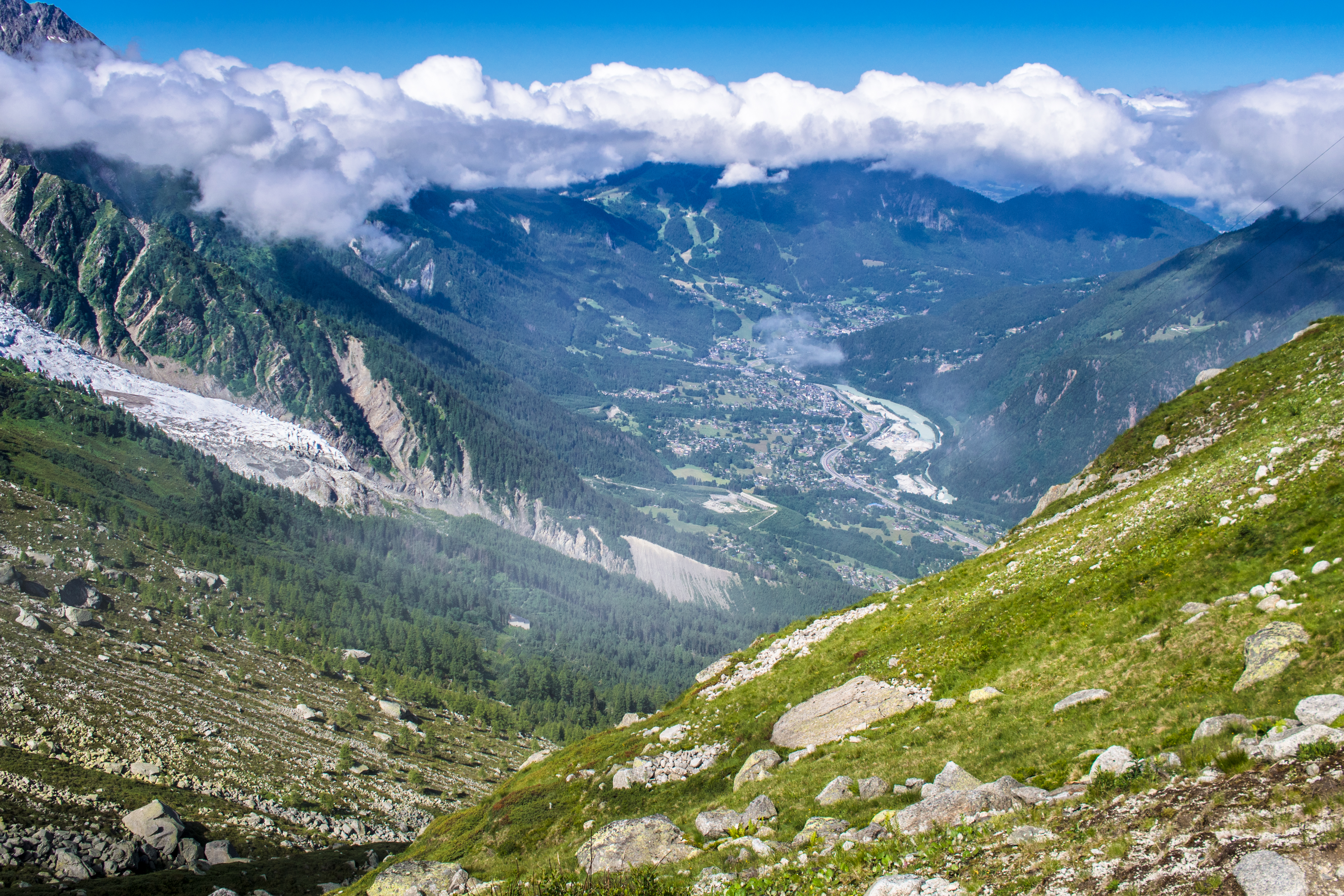
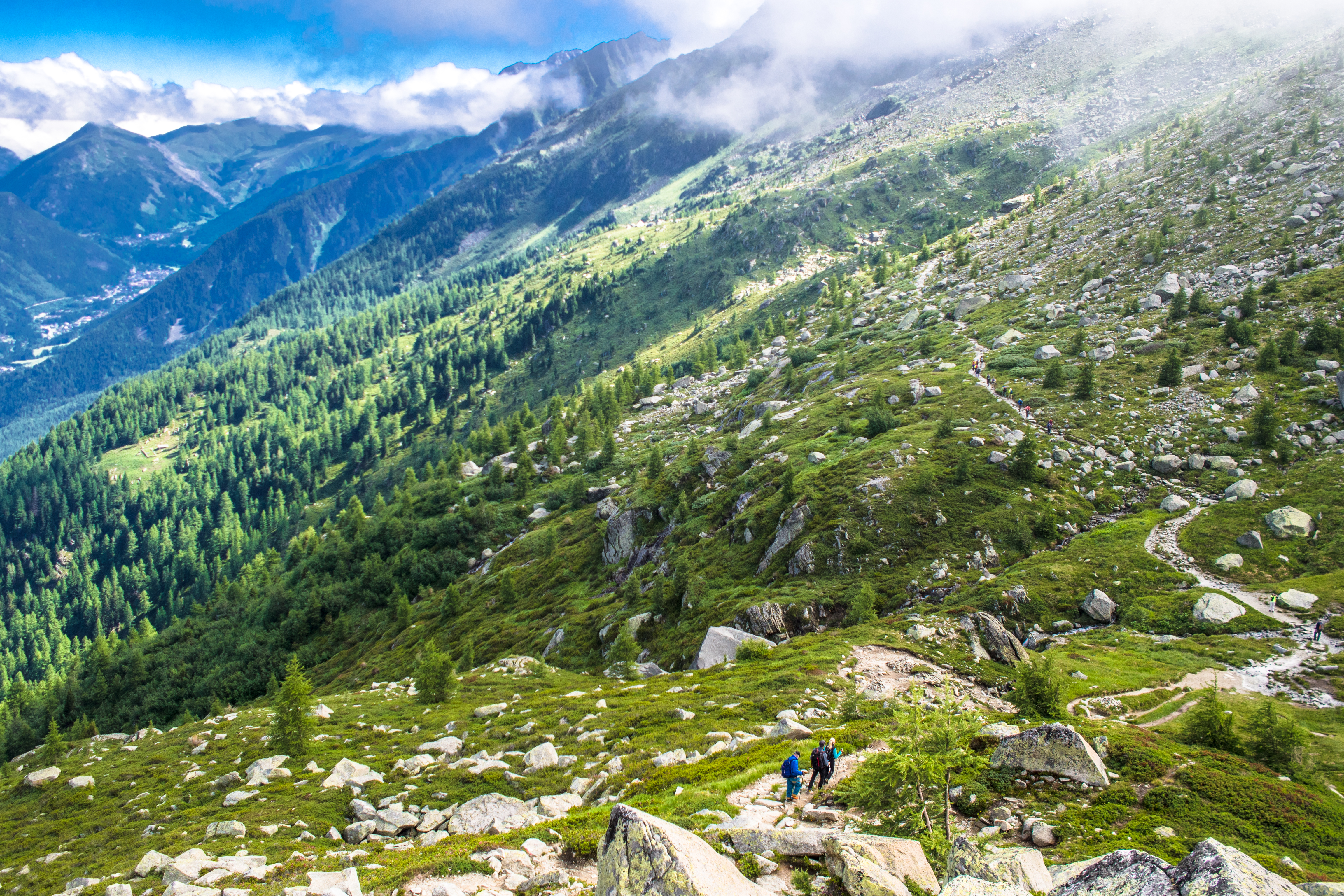
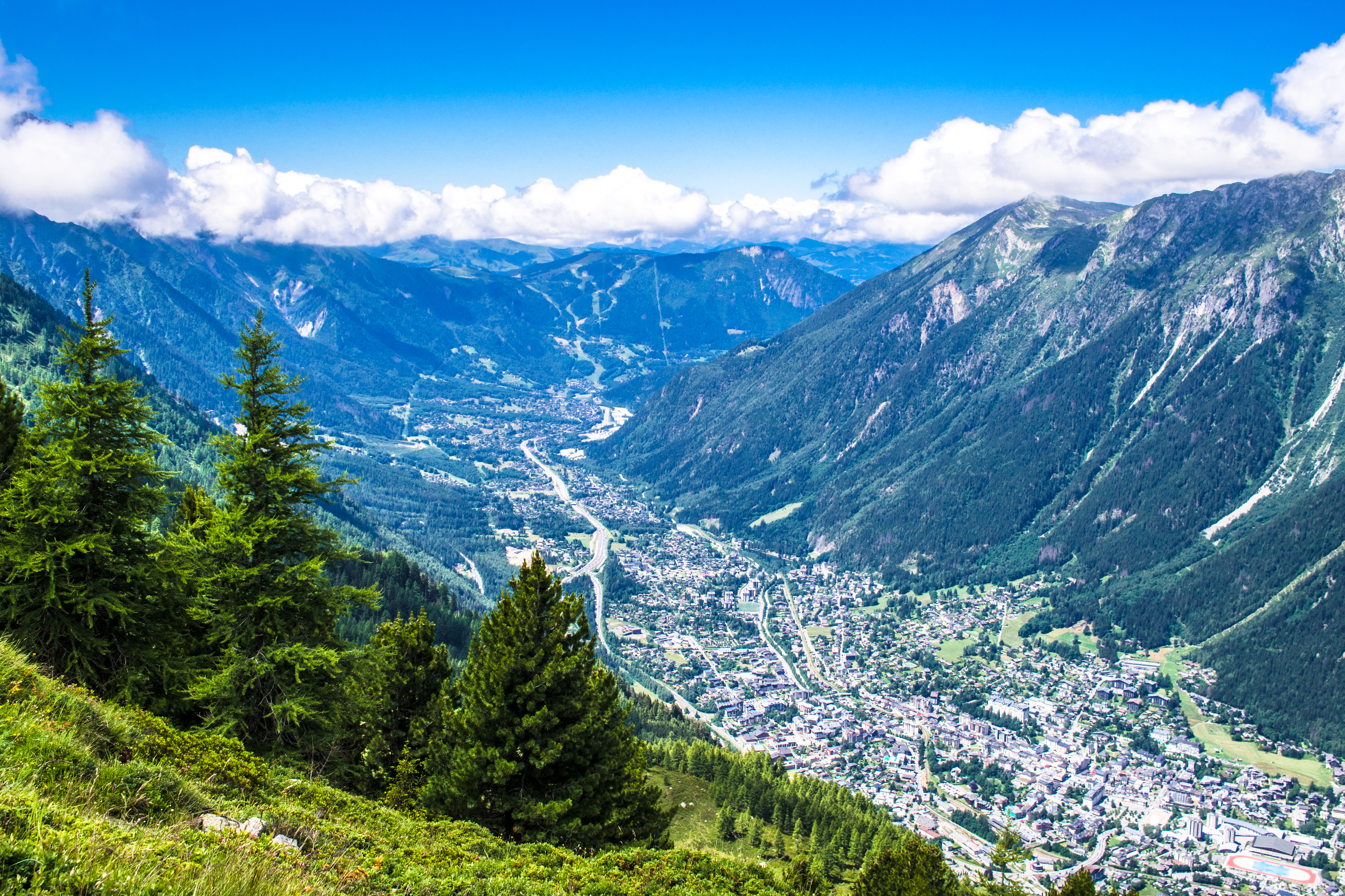
a clear view of valley
french hikers taking a short cut down
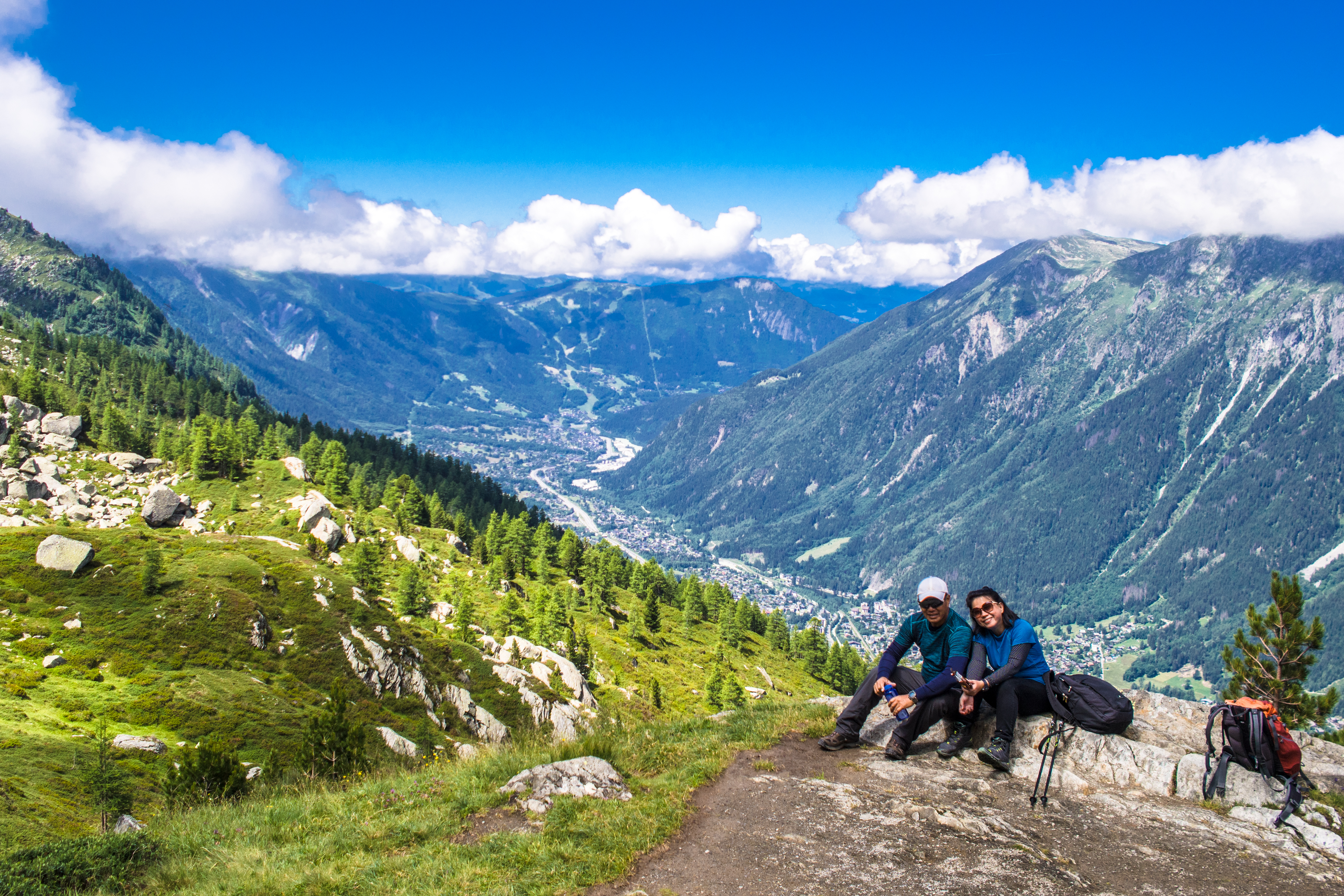
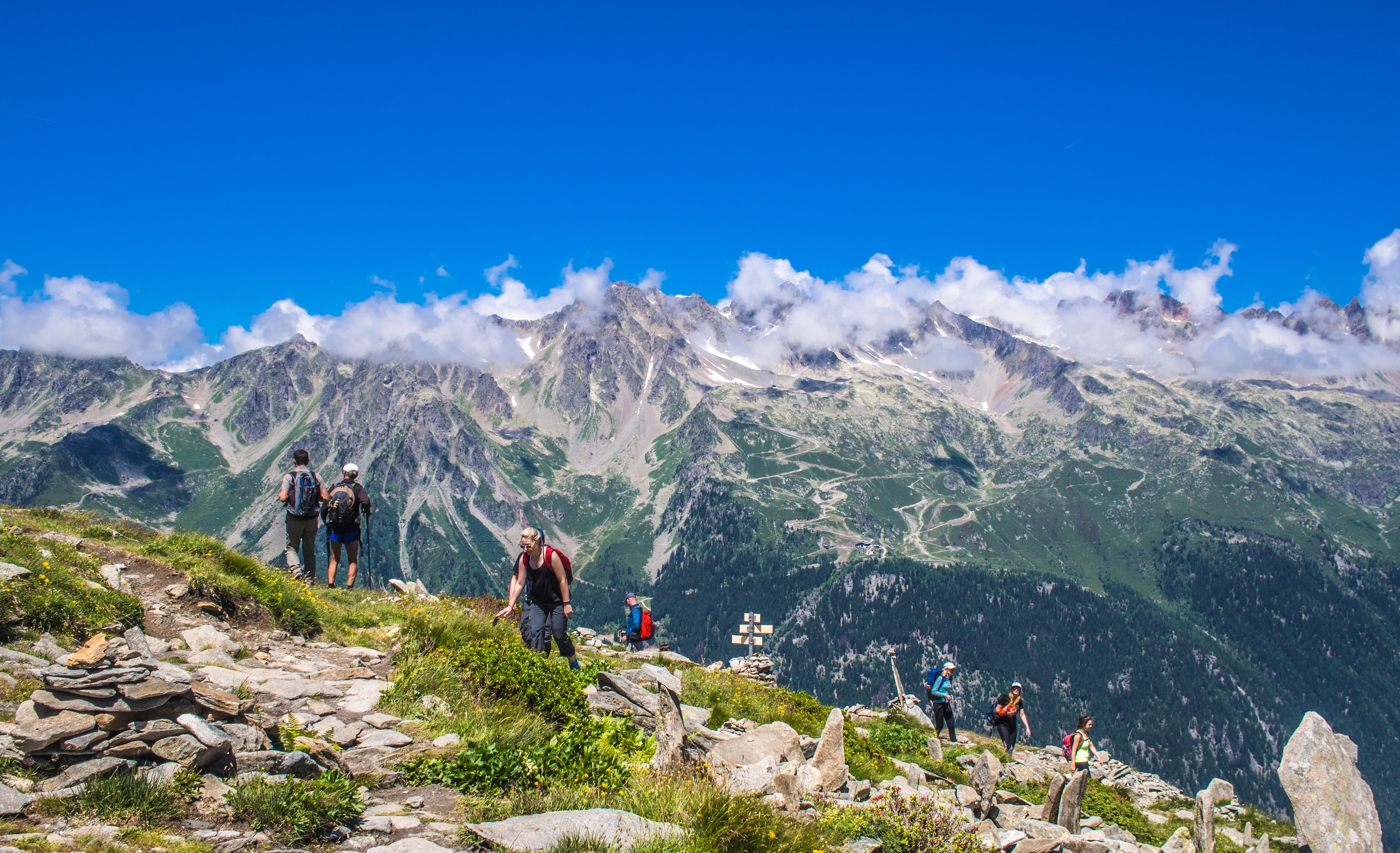
The trail was easy, mostly descending and civilised – only a good pair of running shoes required. Plus it was a good-weather day so there were gorgeous views of the valley all around. And Mont Blanc made a good backdrop.
taking the trail down from cable car station
the path is clearly laid before us
looking back at Mont Blanc
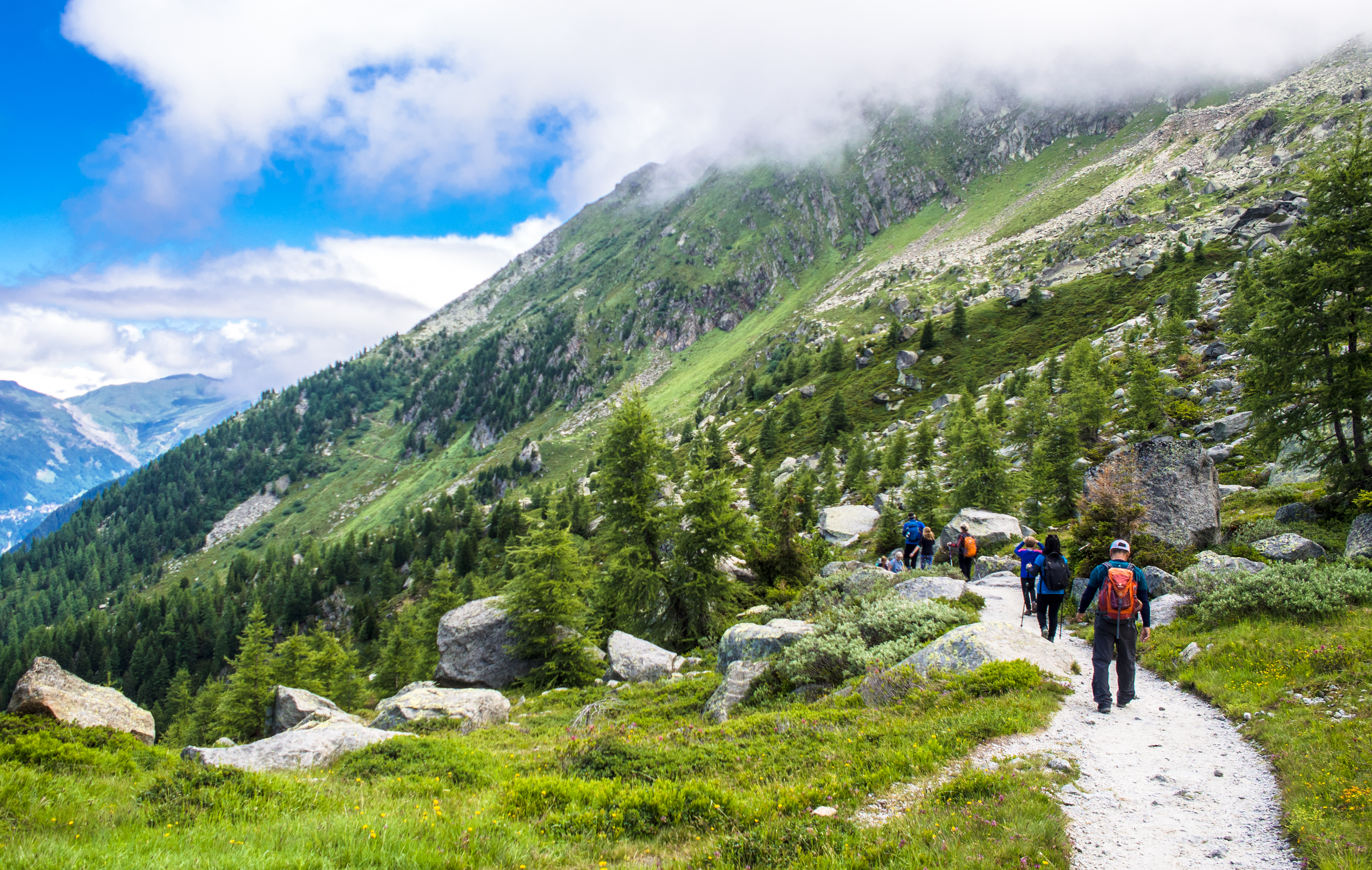
a very civilised trail
a very scenic pit stop
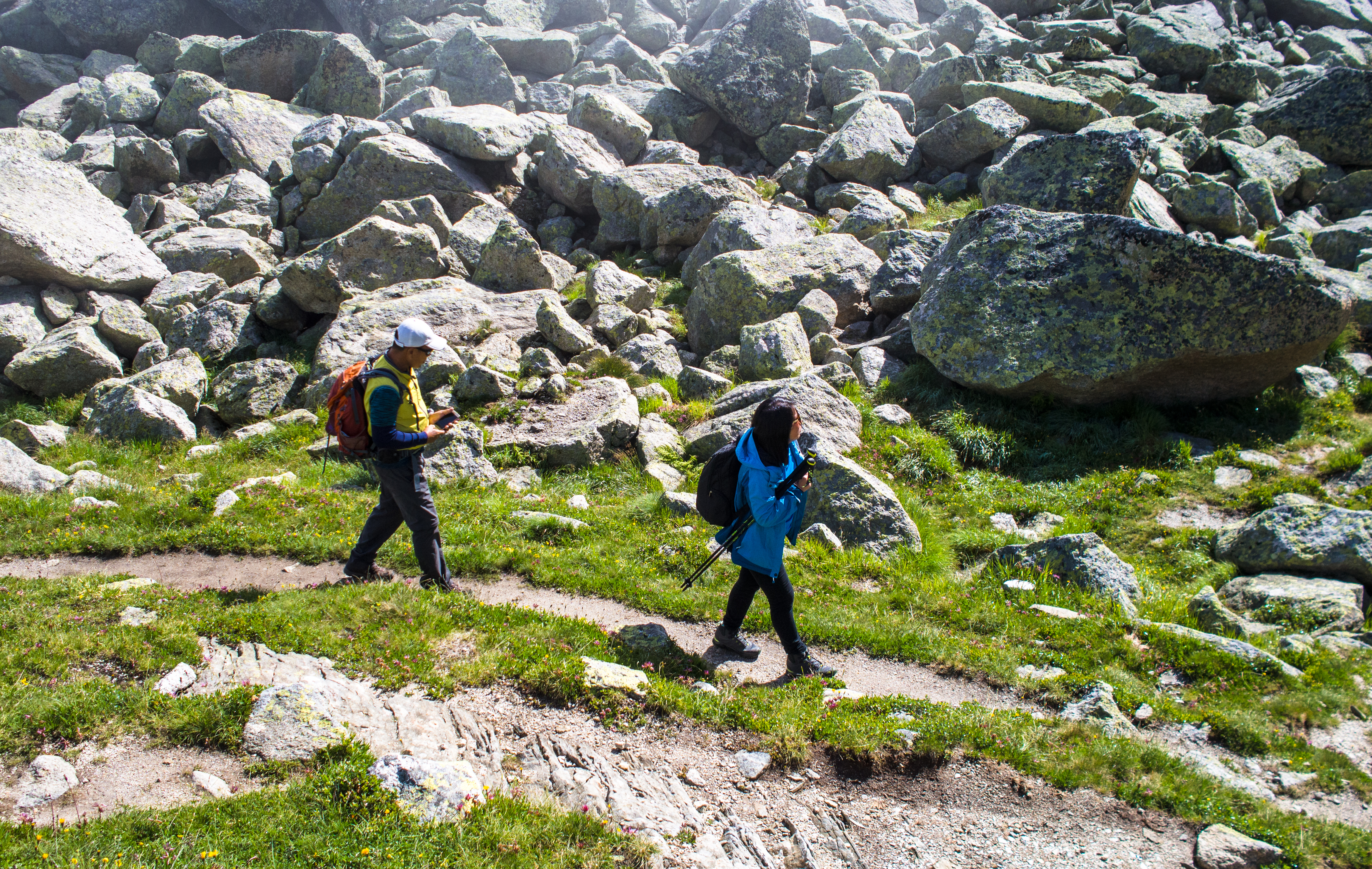
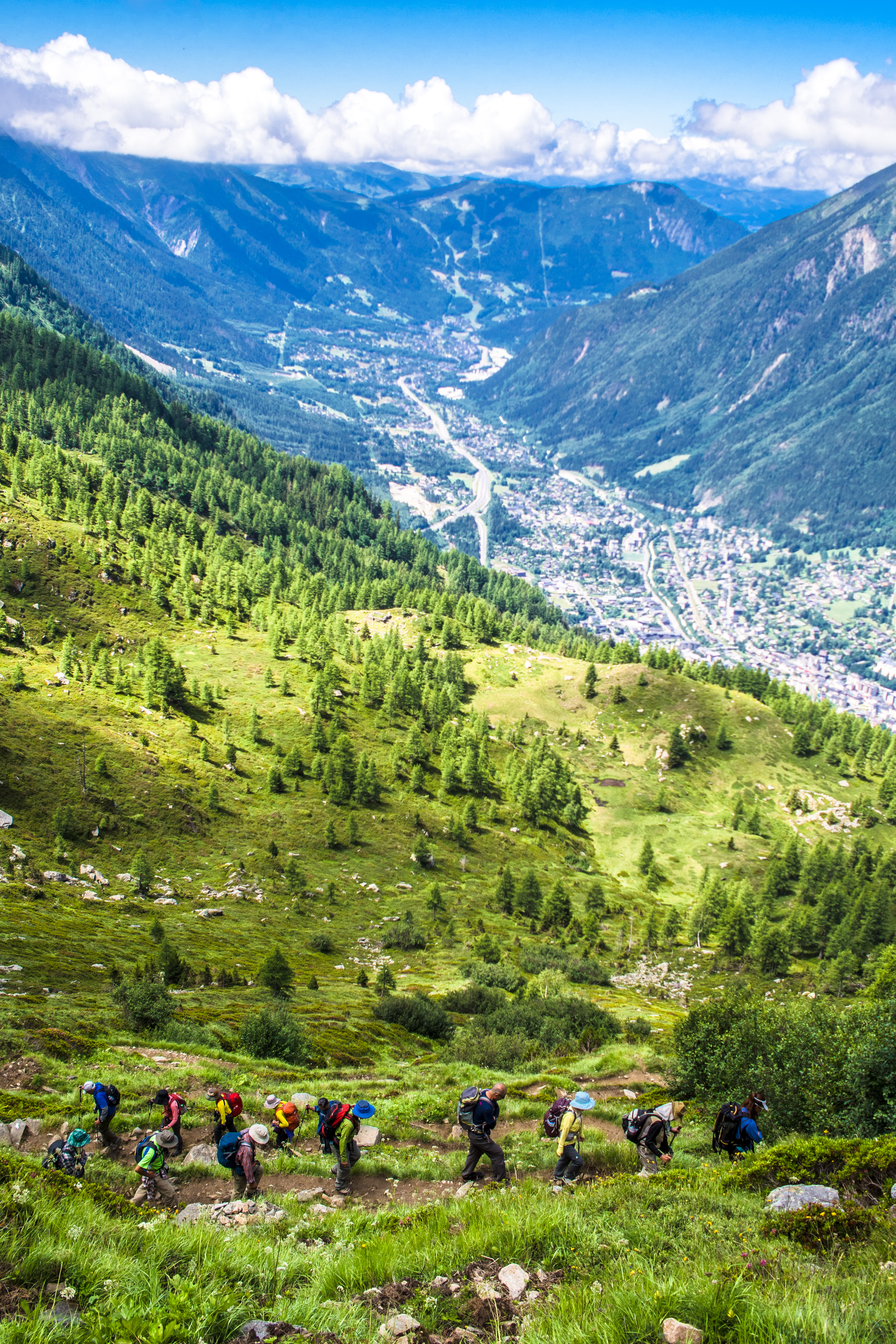
There was a part where we had to break from the mostly-straight-ahead trail and do an ascent up on the right. There was no sign to indicate the split there (at least I didn’t see it). We might have missed the split if not for a group of Japanese hikers resting there waiting for their friends.
Apparently the other route would also bring us to Montenvers but was rated ‘difficult’ and for ‘experienced hikers only’ and apparently was not recommended for those suffering from ‘vertigo’.
Anyway, we were content to ‘go with the flow’ and ‘follow the crowd’. Plus Google Maps pointed the same way (signal was excellent).
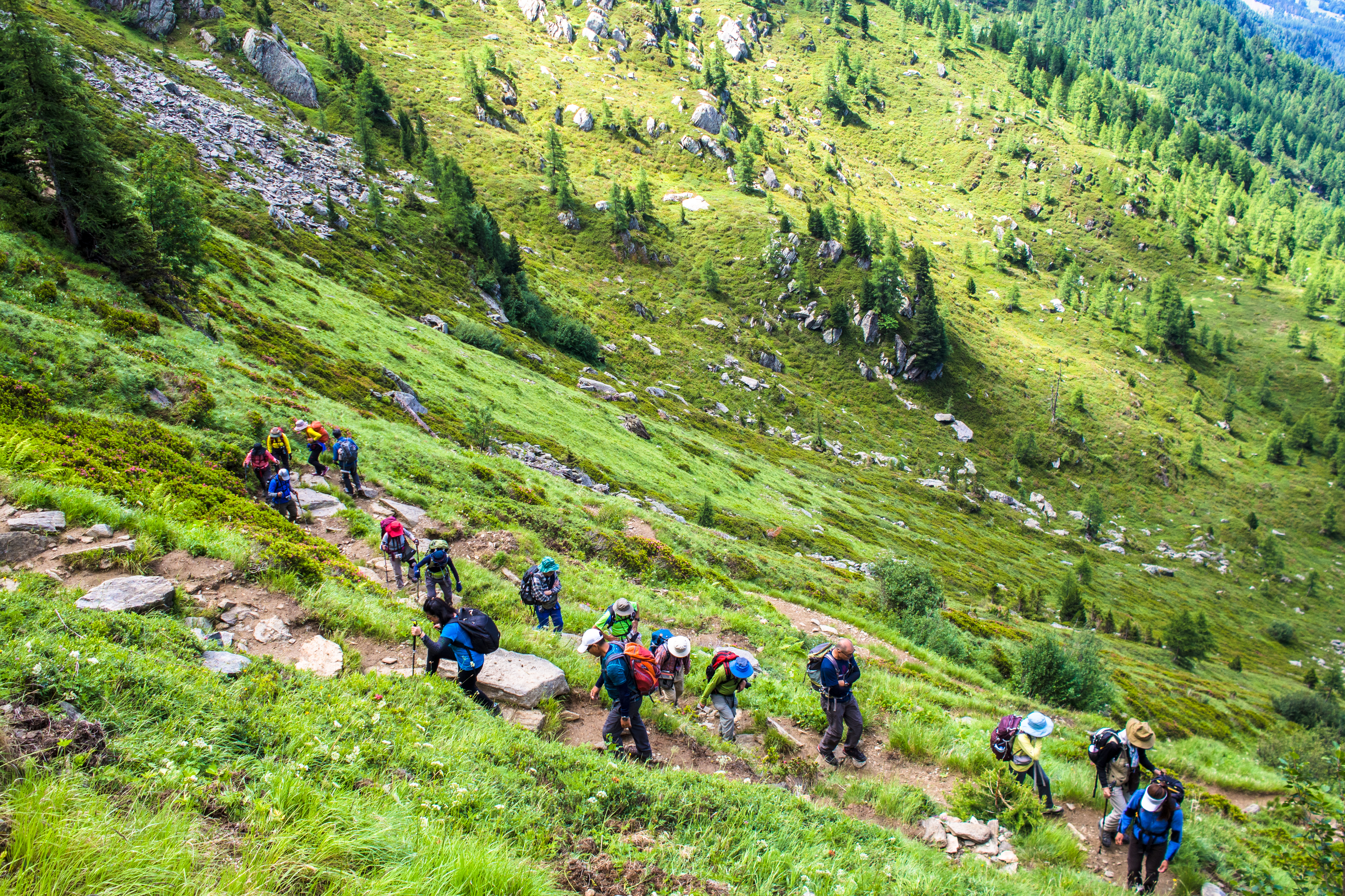
like a procession: the only steep ascent
in the Q
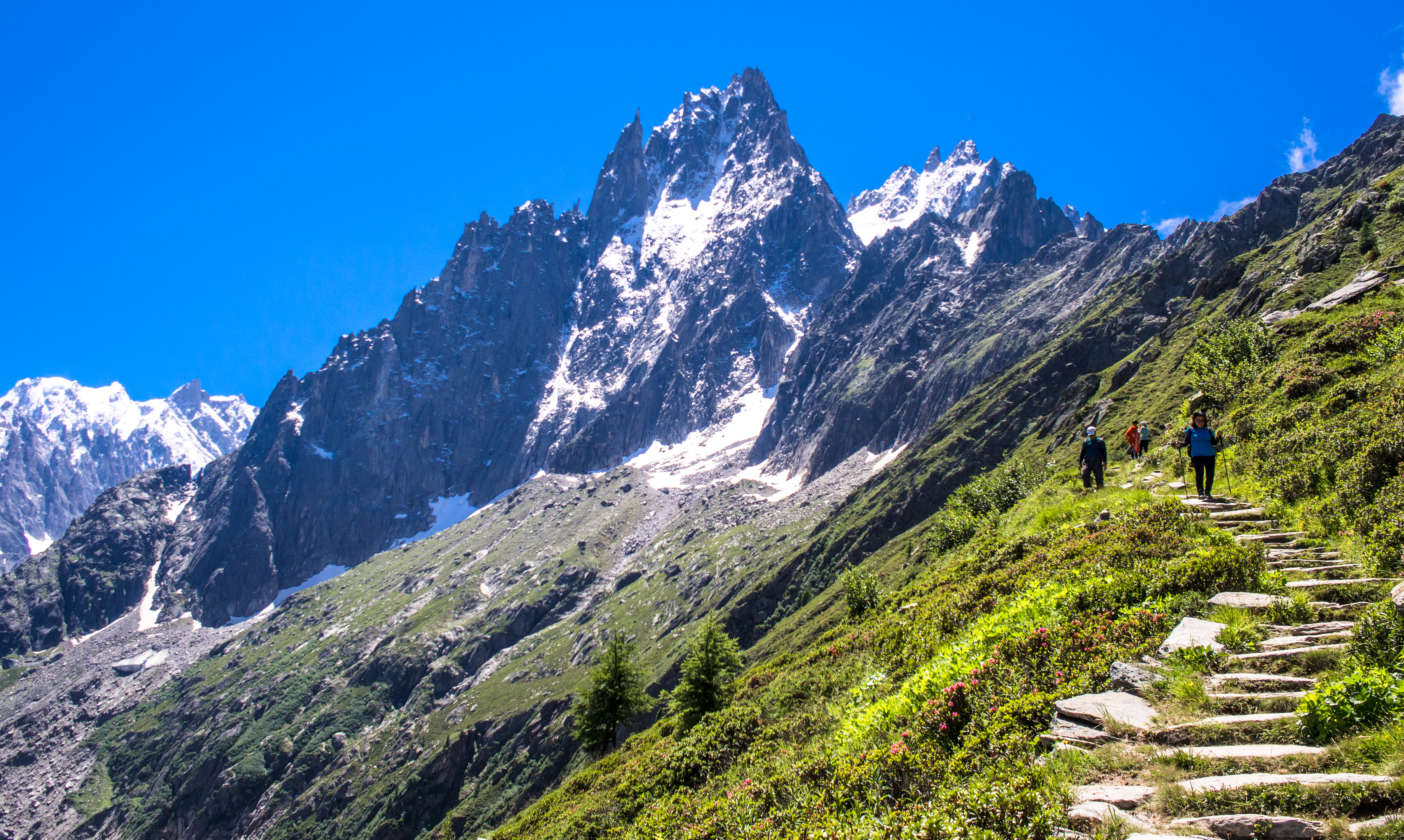
The view after the climb was fantastic. We were hiking alongside the valley below us and Mont Blanc behind us. It wasn’t long before we got to the highlight of the hike – Signal de Forbes and the glacier.
look back: the valley
the other side of the valley

there’s enough to distract!
Signal de Forbes: the other way leads to Montenvers

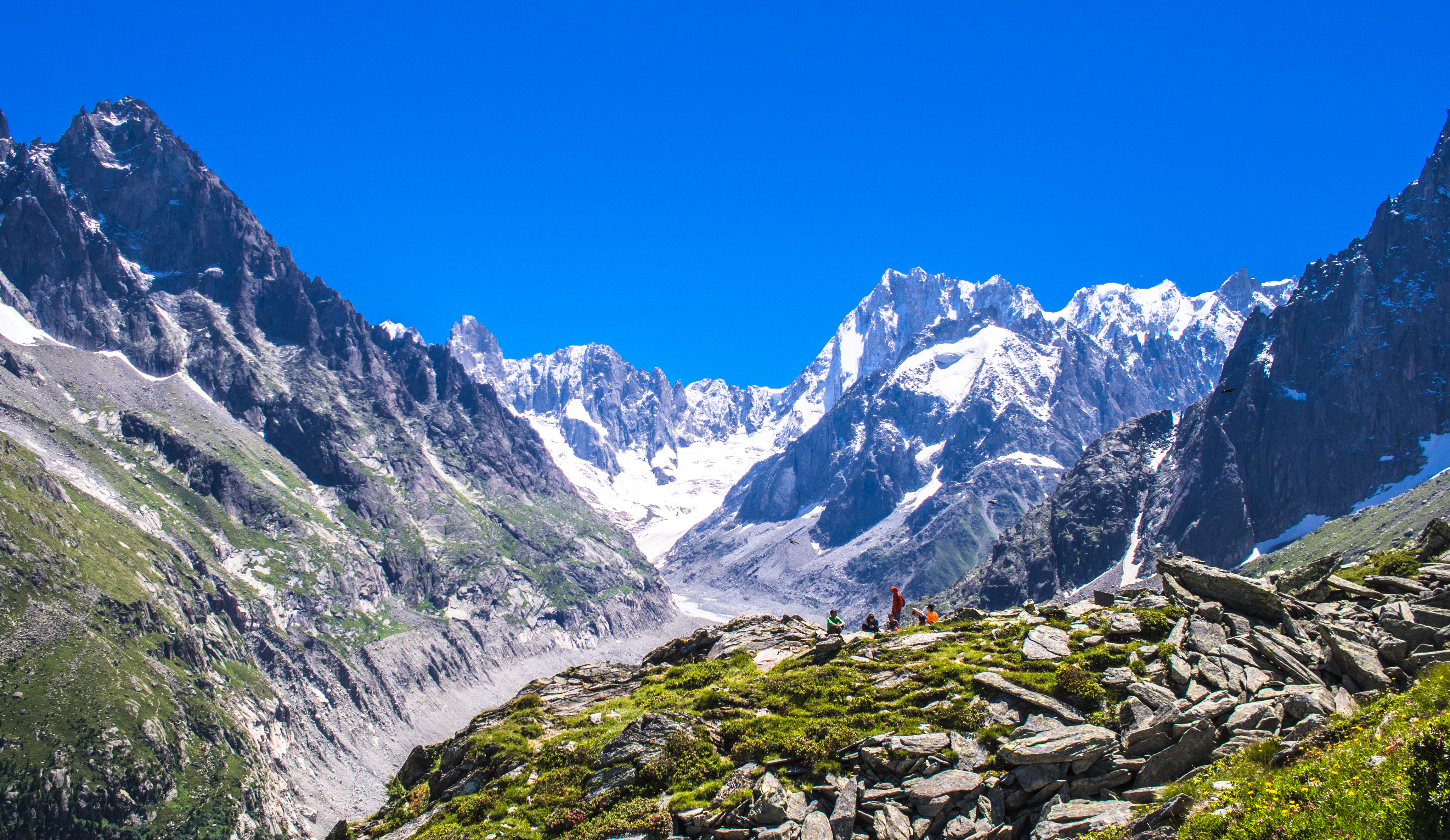
hikers immobilised by the view (Aiguille du Grépon, 3482m) before them
Signal de Forbes (2198m) offered a panaromic view of the Mer de Glace, Les Drus (3754m), Grandes Jorasses (4208m) and the Montenvers tram station below. It was a popular spot of hikers, many lying on their favourite piece of stone for a rest, a picnic and a bask in the sun. A beer would make things perfect.
Signal de Forbes and Grandes Jorasses
The glacier seemed to have shed some of its mass that month but was still a sight to behold.
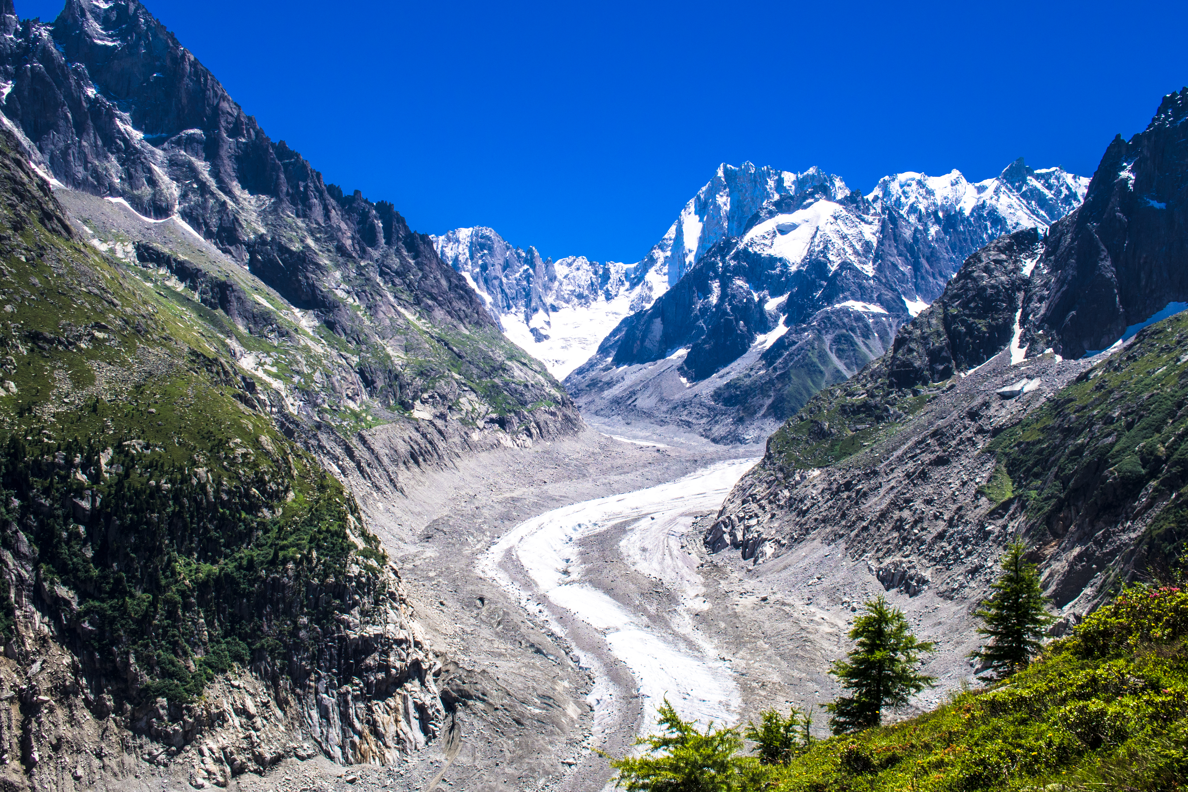
the glacier – Mer de Glace and Grandes Jorasses
continuing on to Montenvers
steps going down
We had lunch at the Refuge du Montenvers restaurant. The meal was good but set us back by €81. After lunch, we took the cable car down (price included in Pass) to see the ice-caves. From the cable car disembarkation platform, it was a very long (rickety) walk to the caves. We gave up and turned back because we felt we had enough walking that day (and I was growing blisters on my feet).

Le Montenvers
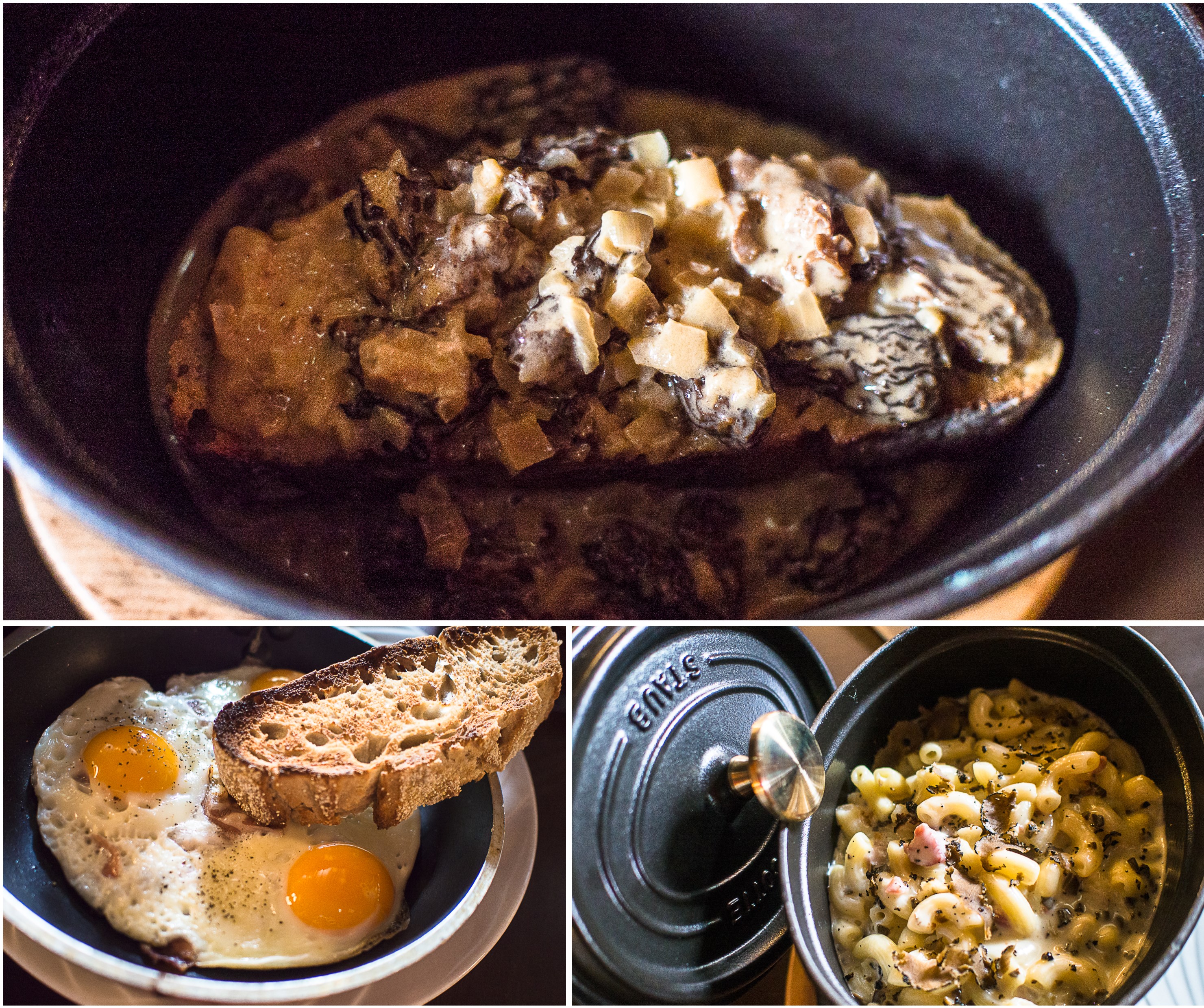
Lunch @ Refuge du Montenvers
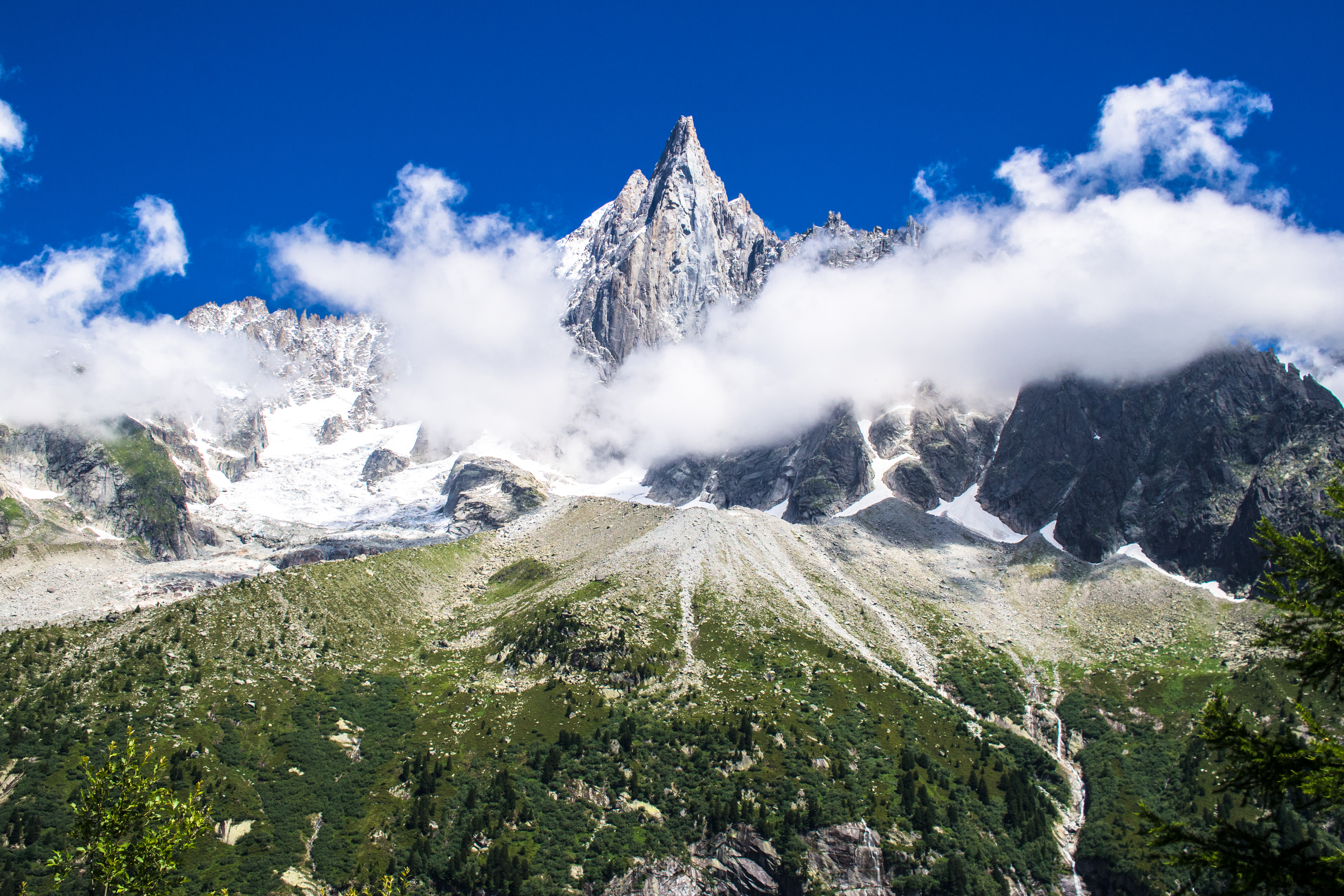
Les Drus obscured by clouds
Then it was back to Chamonix by tram. The tram was packed to the seams with all sorts – day trippers, hikers, climbers with ice picks/ropes. Everyone was eager to get back to Chamonix to chill. 1600 hours gave us enough time to schedule a good round of shopping before all the dining and wining.
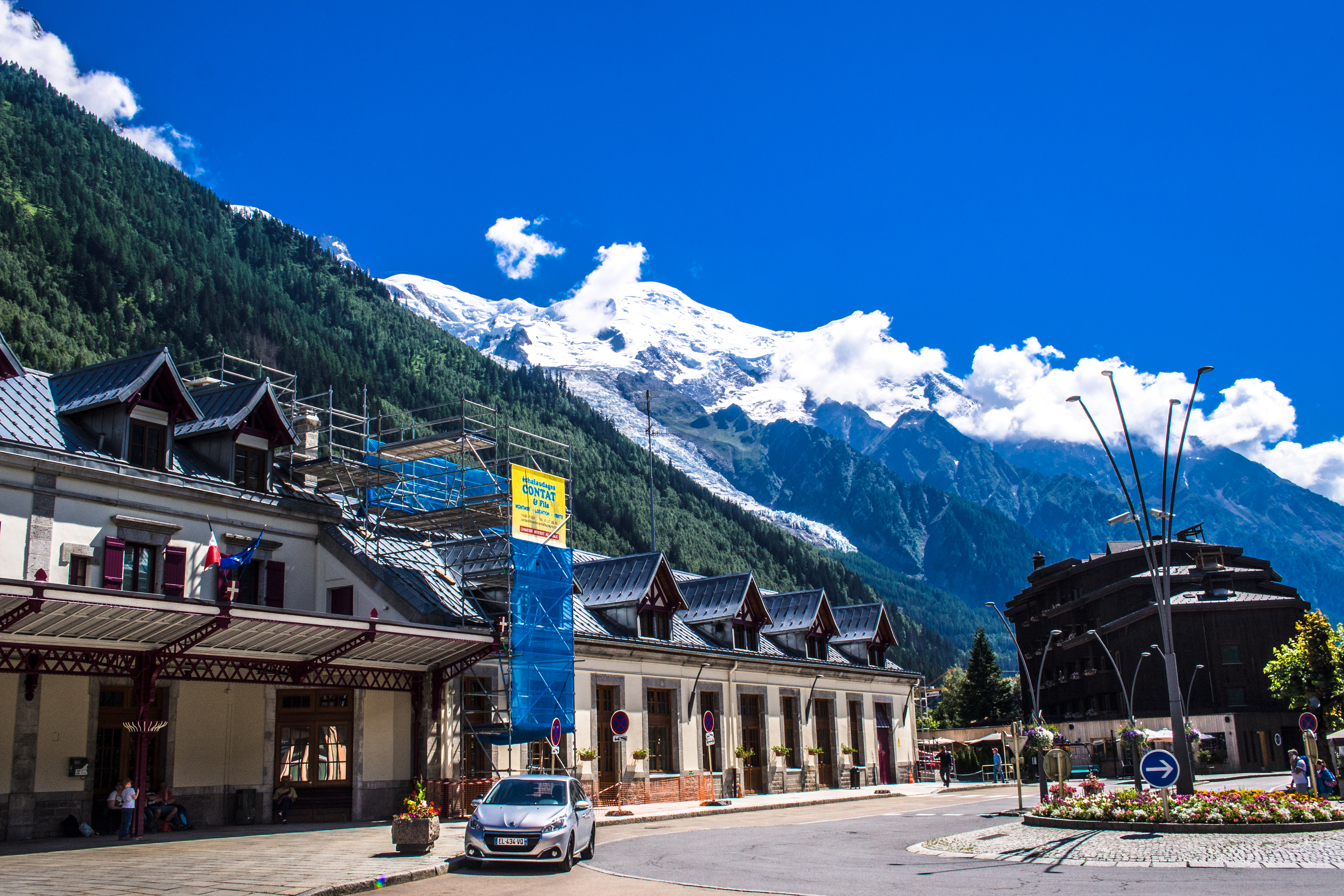
back to Chamonix – train station
Visited 4 July 2017
References: randos-montblanc.com; 10hikes; chamonix-mont-blanc; hikingproject
